Catalog Archive
Auction 150, Lot 639

"Eastern Passages to China Sheet II", Horsburgh, James (Capt)

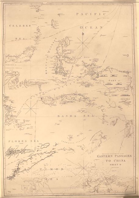
Subject: East Indies - Indonesia

Period: 1849 (dated)

Publication:

Color: Black & White

Size:
25.4 x 37.4 inches
64.5 x 95 cm
Download High Resolution Image
(or just click on image to launch the Zoom viewer)

This large sea chart spans from the southern part of the Celebes Sea into the Banda and Timor seas. It traces three different routes to China: through the Strait of Macassar, from the Java Sea through the Bouton and Gillolo passages, and from Europe through the Ombay and Pitts passages. Numerous islands are named and located with shoals, soundings, anchorages, and more coastal information shown. West Papua appears with an unfinished coastline and six small views of various shores from the vantage of the water. The map extends to the south as far as Van Diemen Gulf and Melville Island. Originally published in 1826, but corrected to 1849. Engraved by John Bateman.

References:

Condition: B+

There is light soiling and a few tears in the image at bottom, including one that runs about 9", that have been repaired on verso with archival tape.

Estimate: $750 - $900

Sold for: $550

Closed on 9/17/2014

Archived