Catalog Archive
Auction 150, Lot 609

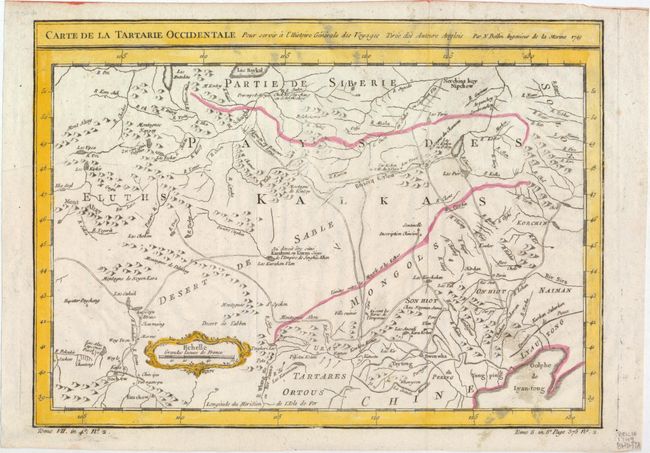
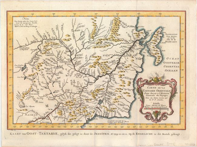
"[Lot of 2] Carte de la Tartarie Occidentale pour Servir a l'Histoire Generale des Voyages Tiree des Auteurs Anglois [and] Carte de la Tartarie Orientale ... Tiree des Cartes Levees par les P.P. Jesuites", Bellin, Jacques Nicolas

Subject: Northern Asia

Period: 1749-73 (circa)

Publication:

Color: Hand Color

Size:
See Description
Download High Resolution Image
(or just click on image to launch the Zoom viewer)

This pair of maps provides a very detailed view of the Tartary region of Russia. The maps are based on Jesuit surveys, the cartography of Ivan Kyrlov, and English maps of the region.

A. Carte de la Tartarie Occidentale pour Servir a l'Histoire Generale des Voyages Tiree des Auteurs Anglois, from Prevost's L'Histoire Generale des Voyages, (12.2 x 8.8"). This map covers western Tartary with a focus on the region of present-day Mongolia. This map includes information from Kyrkov's important surveys of this remote region in addition to Jesuit and English sources. It includes detail of the roads and shows sections of the Great Wall. It is dated 1749, when it was first published in the French edition of Prevost's history of important voyages. Condition: Issued folding with light soiling and minor printer's ink residue. (B+)

B. Carte de la Tartarie Orientale pour Servir a l'Histoire Generale des Voyages, Tiree des Cartes Levees par les P.P. Jesuites, from Raynal's L'Atlas Portatif, (12.1 x 8.1"). This map covers the eastern part of Tartary with part of present-day Manchuria and Sakhalin Island. The map was based primarily on Jesuit and English sources and is particularly detailed with regard to the river systems. Features a lovely decorative cartouche. Dutch title appears along the bottom. Engraved by van Schley. Condition: Issued folding on watermarked paper. (A)

References:

Condition:

See description above.

Estimate: $180 - $220

Unsold

Closed on 9/17/2014

Archived