Catalog Archive
Auction 150, Lot 404

"Gulielmi Sanson Nicolai Filii Geographia Patriarchalis Tabula Geographica in Epitomen Contracta; in quae Patriarchatus Antiqui Romanus...", Mortier, Pierre
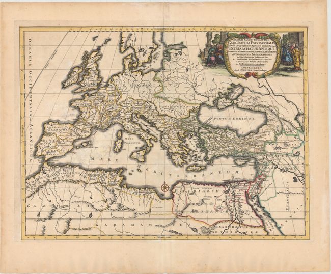
Subject: Europe

Period: 1700 (circa)

Publication:

Color: Hand Color

Size:
21.4 x 15.8 inches
54.4 x 40.1 cm
Download High Resolution Image
(or just click on image to launch the Zoom viewer)

This map of ancient Europe and northern Africa shows the region divided into three large empires: the Roman Empire, the Constantinopolitanus Empire, and the Alexandrinus Empire. Political divisions, place names, mountain ranges, and river systems are all well detailed. The decorative title cartouche features ancient figures sitting before stone columns.

References:

Condition: B

A nice impression with attractive color and several large but light damp stains in the image.

Estimate: $275 - $350

Unsold

Closed on 9/17/2014

Archived