Catalog Archive
Auction 150, Lot 35

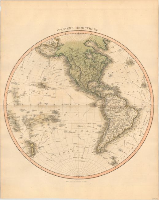
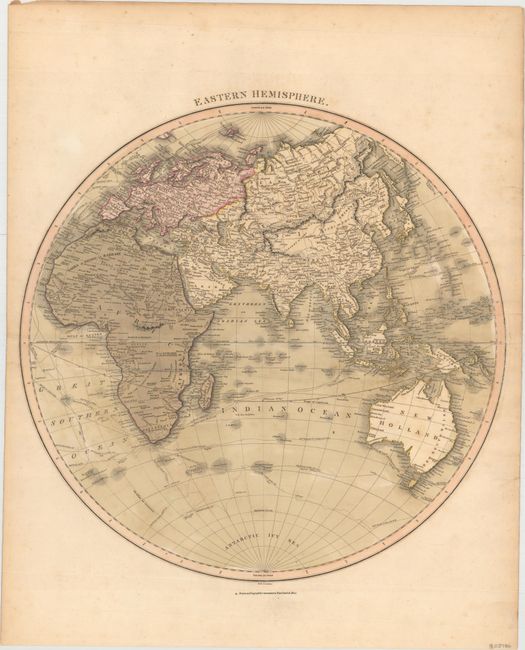
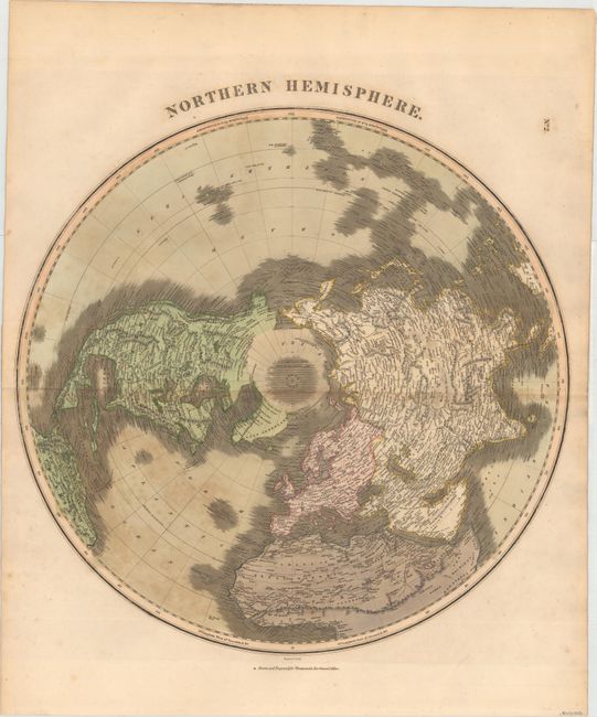
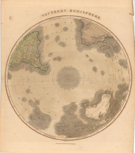
"[Lot of 4] Western Hemisphere [and] Eastern Hemisphere [and] Northern Hemisphere [and] Southern Hemisphere", Thomson, John

Subject: World

Period: 1820 (circa)

Publication: Thomson's New General Atlas

Color: Hand Color

Size:
19.9 x 20.3 inches
50.5 x 51.6 cm
Download High Resolution Image
(or just click on image to launch the Zoom viewer)

Size varies slightly. A. Western Hemisphere. This large map extends to include New Zealand and most of Oceania with details of the numerous explorer’s routes throughout the oceans. A single, unnamed mountain range extends the length of the Western Hemisphere. In North America, Alaska still has a rudimentary form and Greenland is attached to Canada. The region around Utah is labeled Dogg Nation, and features a huge lake in the approximate location of the Great Salt Lake. Numerous towns, rivers, and Indian lands are noted. B. Eastern Hemisphere. This large and detailed hemispheric map extends to include New Holland (Australia), New Guinea (still not completely delineated), and some of the South Pacific islands. There are interesting notations throughout Africa, such as the mythical location of the source of the Nile in the twin lakes at the base of the Mountains of the Moon. The routes of numerous explorers are shown, including Cook, Vancouver and Perouse. C. Northern Hemisphere. Large hemispheric map centered on the North Pole with the notation, "Ice is supposed to extend from 83° all around the pole." Greenland appears to be connected to North America, while the northern coastlines of both are left open-ended with notations that McHearn and MacKenzie had seen the sea in 1771 and 1789 respectively. Terrific detail within the continents with hundreds of place names and much information on watershed and topography. The map extends south to the equator. D. Southern Hemisphere. This large copper engraved hemispheric chart is centered on the South Pole. No Antarctic land mass is shown, but the area includes the notation "Cook's Highest Latitude was 71° 10'; from Thence Ice is supposed to extend all round the Pole." South Georgia Island is noted as "discovered by Cook in 1775." Shows all of New Zealand, Australia (New Holland), Papua New Guinea, and Madagascar. Map extends to the Equator to show the Amazon River in South America and above the Congo region and "The Red Wood Country" in Africa.

References:

Condition: B+

The maps all have light toning, minor offsetting, and a few small spots of foxing. The Eastern Hemisphere sheet also has a few short tears in the right blank margin.

Estimate: $400 - $500

Sold for: $300

Closed on 9/17/2014

Archived