Catalog Archive
Auction 149, Lot 79

"Nieuwe Kaart van Noord Amerika Volgens de Nieuwste Waarnemingen", Moll, Herman

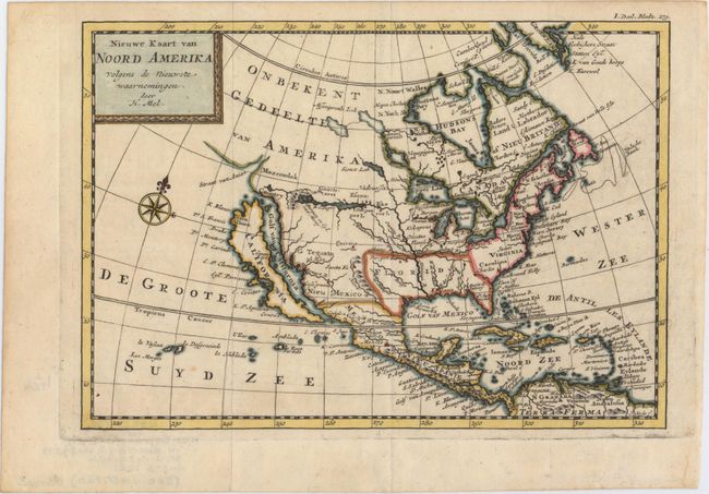
Subject: North America

Period: 1721 (circa)

Publication: Het Britanische Ryk in Amerika...

Color: Hand Color

Size:
9.8 x 6.8 inches
24.9 x 17.3 cm
Download High Resolution Image
(or just click on image to launch the Zoom viewer)

This is a Dutch edition of Moll's attractive map of North America that extends to include the West Indies and northern South America. The Island of California dominates the west coast with the Golf van California, Strait of Anian (Straat van Anian), Mozeemlek Country and Parts Unknown (Onbekent Gedeelte) shown above the island. The British Colonies are confined to the eastern seaboard and Florida occupies all of the southern United States. Lake Superior is simply named Upper Lak. Lahontan's mythical Longue River stretches between two lakes in the west, with a notation that translates to "Many villages on the islands" in the western-most lake. A decorative compass rose fills the Great South Sea (De Groote Suyd Zee). Published in a Dutch edition of John Oldmixon's British Empire in America.

References: McLaughlin #200.

Condition: A

Issued folding, now pressed. A nice impression and attractive color with a couple of tiny, insignificant spots.

Estimate: $600 - $750

Sold for: $600

Closed on 5/21/2014

Archived