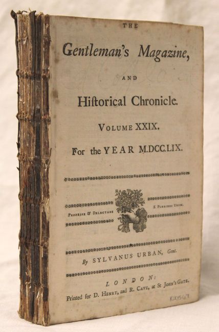
"The Gentleman's Magazine, and Historical Chronicle", Anon.
Subject: Miscellaneous Books
Period: 1759 (published)
Publication:
Color: Black & White
Size:
5.3 x 8.3 inches
13.5 x 21.1 cm
This lot includes 8 individual monthly issues and the supplement from 1759 during the heart of the Seven Years War (missing April, May, October and November). All maps and plates are present for the monthly issues included. The six maps, all listed in Jolly, include:
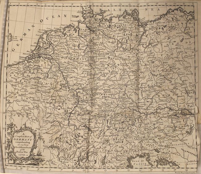
A. Compleat Map of Germany Comprehending in One View the Different Seats of the Present War (11 x 13.3").
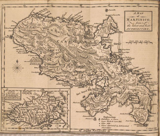
B. A Map of Martinico, from the Latest and Best Authorities, by John Gibson (7.5 x 9.5").
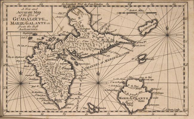
C. A New and Accurate Map of the Isles of Guadaloupe, Marie-Galante &c. from the Best Authorities, by John Gibson (4.8 x 11.5").
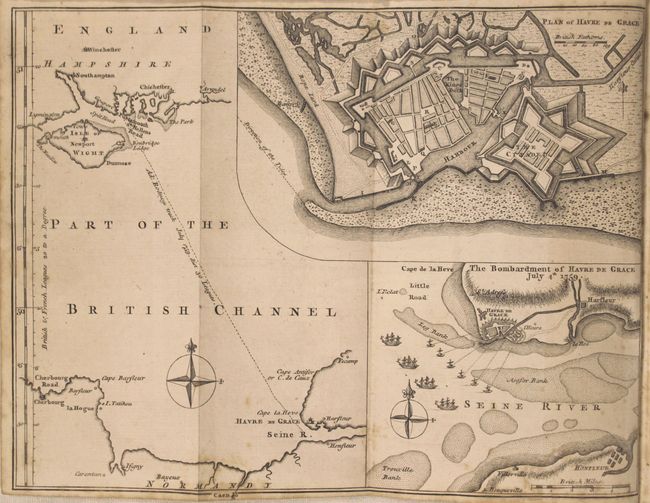
D. Plan of Have de Grace [on sheet with] The Bombardment of Have de Grace July 4th 1759 [and] [Untitled - English Channel] (7.5 x 10").
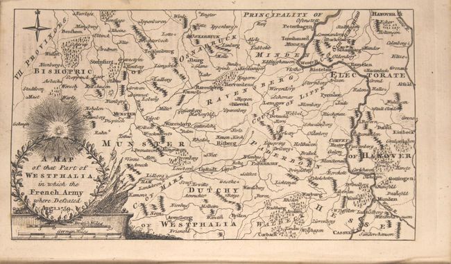
E. A Map of That Part of Westphalia, in which the French Army Where [sic] Defeated Aug. 1. 1759 (4.3 x 7.3").
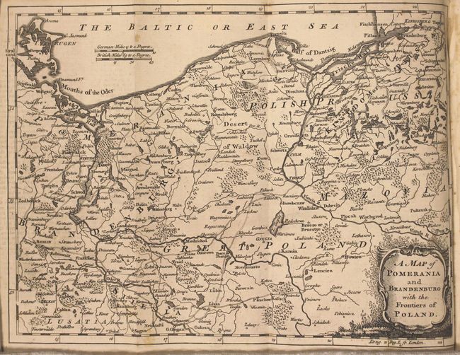
F. A Map of Pomerania and Brandenburg with the Frontiers of Poland (7.5 x 10.3").
In addition to the maps listed above, there is a folding View of the Trinity Bridge over the Arno at Florence and a schematic depiction of battle lines entitled Line of Battle of the Allied Army, before the Engagement, on the First of August, 1759. Disbound, 8vo.
References: Jolly #GENT-125, 126, 130-33 & 135.
Condition: B+
The maps and plates are very good with some occasional foxing. The map of Germany has a 0.5" binding tear at lower right. Disbound.