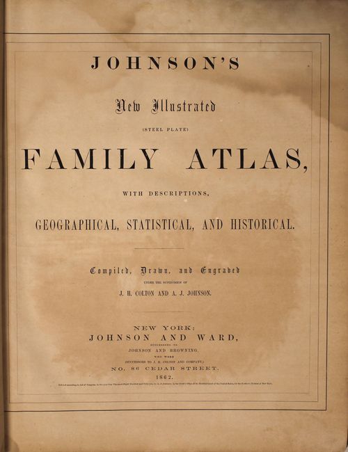
"Johnson's New Illustrated Family Atlas of the World…", Johnson & Ward
Subject: Atlases
Period: 1862 (circa)
Publication:
Color: Hand Color
Size:
14.8 x 18.5 inches
37.6 x 47 cm
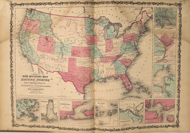
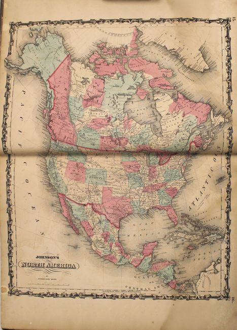
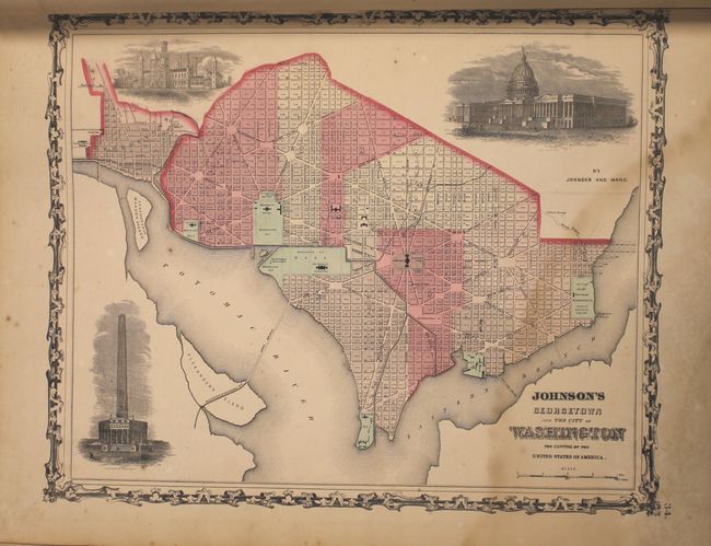
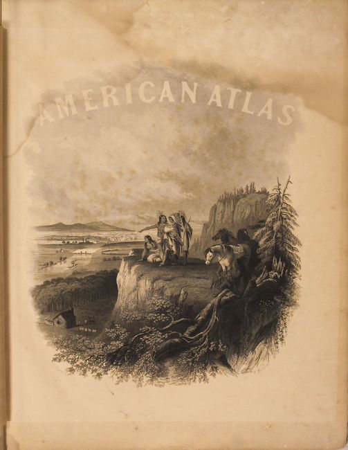
This popular atlas contains 43 single and half-page maps, and 22 double-page maps. The following maps are missing: World on Mercator's Projection, Texas, Africa, and the Roman Empire or Bible Map. These are all beautiful, steel engraved plates with rich color and tremendous detail. Many of the maps include vignettes showing important buildings and vivid scenes. This desirable atlas is highlighted by the short-lived New Military Map of the United States in the desirable configuration showing states and territories rather than by military districts. Other maps of interest include Georgetown and the City of Washington; a great map of the plains territories, a nice map of the Pacific Northwest, and a beautifully engraved frontispiece. This atlas also contains several thematic maps and diagrams interspersed throughout the text.
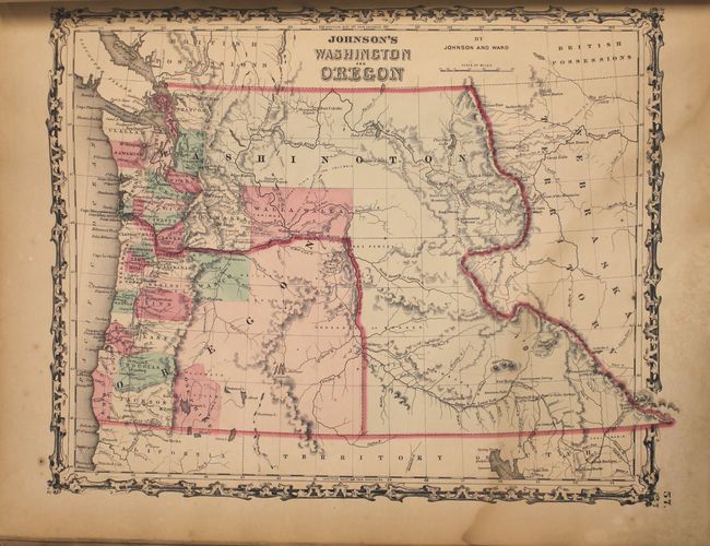
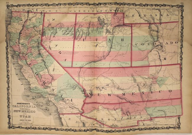
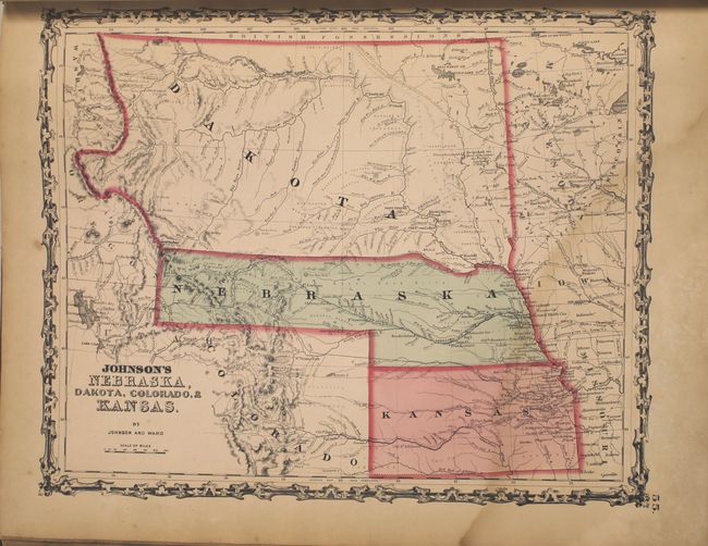
The map of the Southwest is one of the most desirable editions. Arrizona shows up in the southern part of New Mexico Territory. This is thought to represent the Confederate Territory of Arizona that existed for nearly a year from August 1861 until July of 1862. The Confederate General Baylor appointed himself the territorial governor and claimed all of New Mexico Territory south of the 34th parallel. In the southern part of Arizona is the "Gadsden Ten Million Purchase of Mexico." The Utah/Nevada border follows the 116th meridian. The map is filled with historic and interesting notations. One note in the area of Quartzite, Arizona refers to the area as being "exceedingly fertile and abundantly timbered and well watered." Additional details include the U.S. Mail routes, the Emigrant road to California, the proposed railroad route through Utah, Nevada and California, and the Pony Express trail. The map of the Northwest shows the large Washington Territory wrapping around Oregon, taking in the region that would eventually become Idaho. The map of the plains region includes the newly organized Dakota Territory and Nebraska with its panhandle stretching west to the Rocky Mountains.
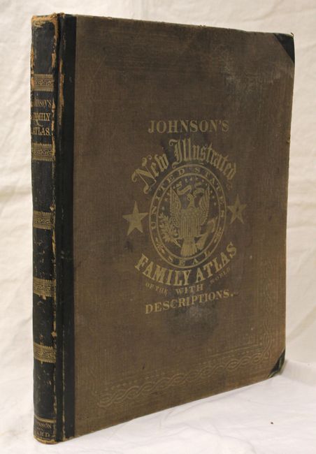
Folio. Original hardbound quarter calf and tips with embossed brown cloth covers, titling in gilt on front cover and spine, and marbled endpapers.
References:
Condition: B
The maps are good to very good with a damp stain in the upper quarter throughout, light toning, and occasional offsetting. The military map of the United States has a small, 3/8" puncture in Mississippi, and the map of Scandinavia has a long tear nearly severing the sheet in half. Covers are worn, stained, and the front cover is slightly warped. Hinges are starting and the corners are bumped.