Catalog Archive
Auction 149, Lot 734

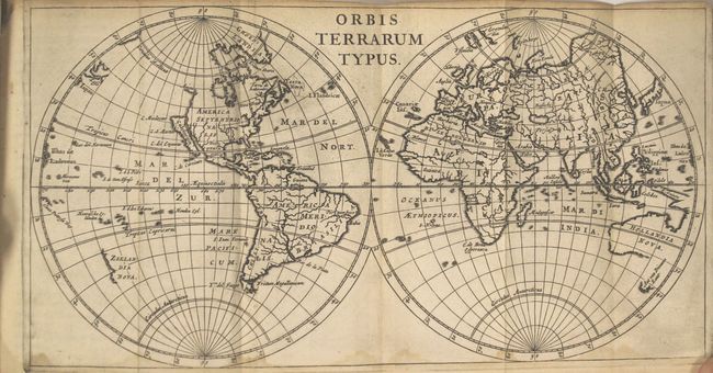
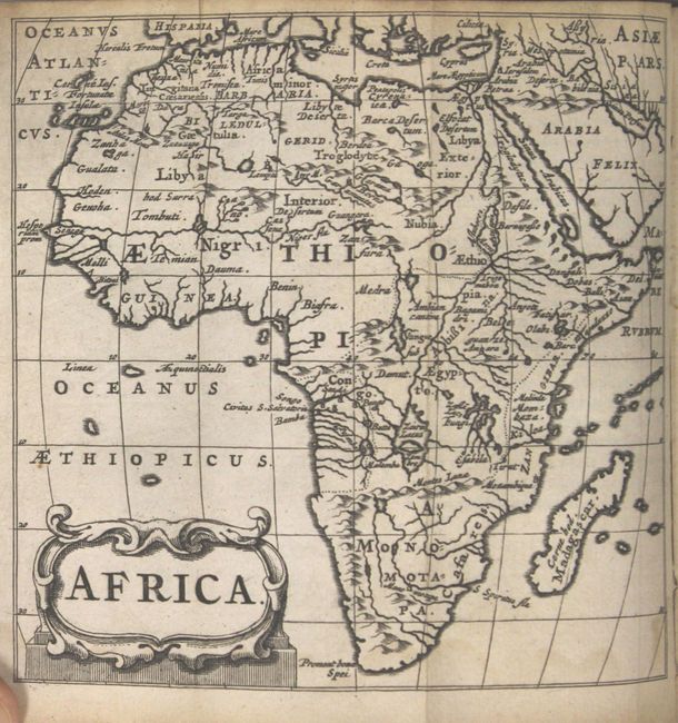
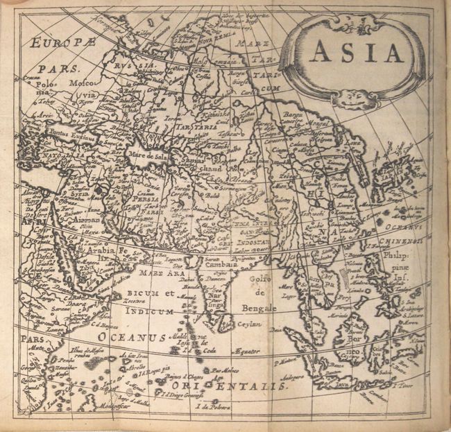
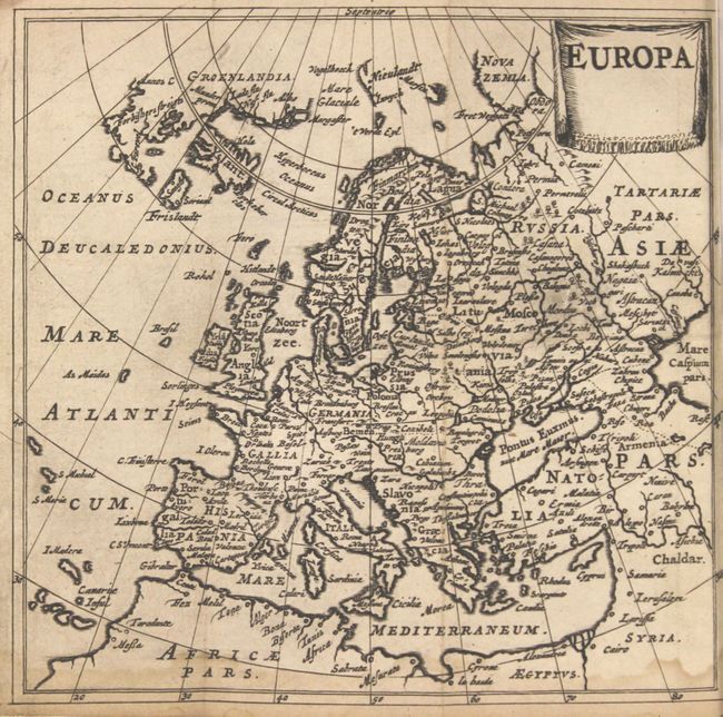
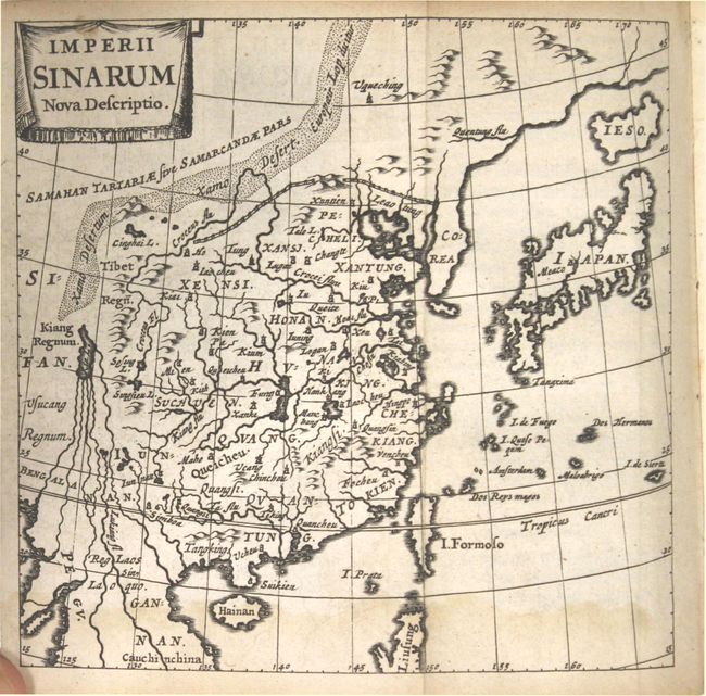
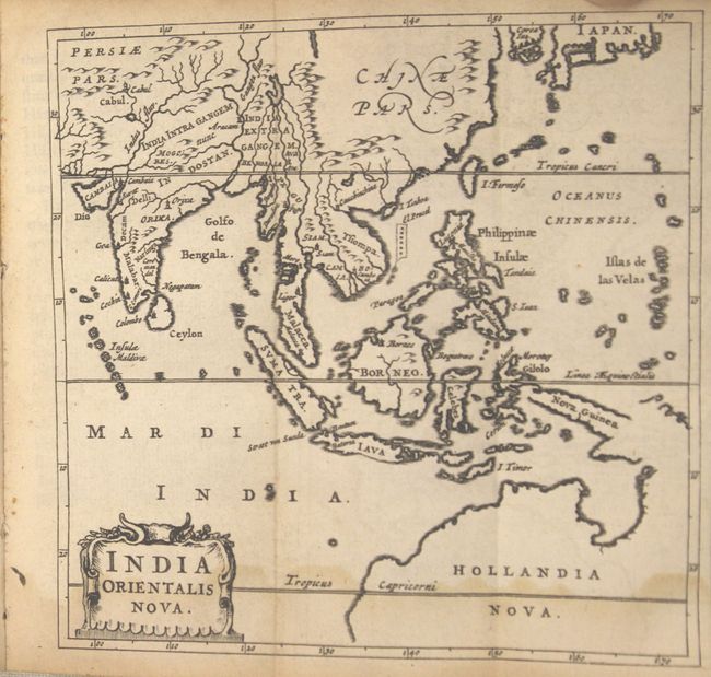
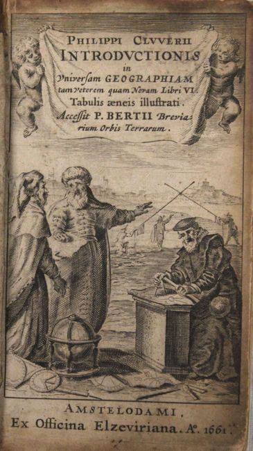
"Philippi Cluverii Introductionis in Universam Geographiam", Cluver, Philipp

Subject: Atlases

Period: 1661 (dated)

Publication:

Color: Black & White

Size:
3.3 x 5.5 inches
8.4 x 14 cm
Download High Resolution Image
(or just click on image to launch the Zoom viewer)

Attractive example of the standard geographical textbook of the seventeenth century, by the father of modern historical geography. The atlas is complete with thirty eight maps. The Introductionis was published numerous times between 1624 and 1729 with each successive edition becoming more elaborate and the later editions including finely engraved maps. About half the maps are classical ones derived from Ortleius' Paregon. The world map shows California as an island. This edition was published by Daniel Elzevir.

24mo, engraved title page, 388 pp., 1 folding table, 38 double-page folding maps, table of Roman Emperors and index. Original full calf binding with raised embossed bands on spine.

References: King (1st ed.) p. 186.

Condition: B+

Maps range from very good to near fine with some light damp staining along the lower border of some maps. The maps of Scandinavia and Italy have small chips in the blank margins just touching the neatline. The title page is moderately toned and soiled. Covers are worn, there are small chips to the spine at top and bottom, and the hinges are starting.

Estimate: $1,100 - $1,400

Sold for: $800

Closed on 5/21/2014

Archived