Catalog Archive
Auction 149, Lot 580

"Tabula Itineris Decies Mille Graecorum Cyro Merentium Contra Fratrem Artaxerxem Regem Persarum...", Covens & Mortier

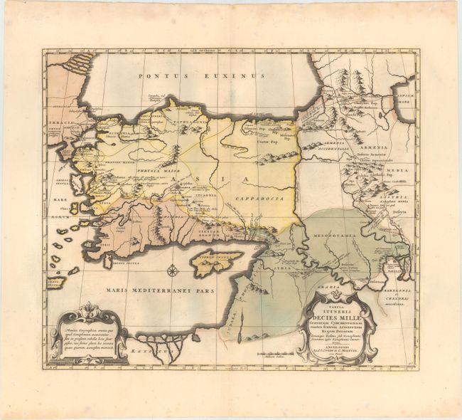
Subject: Middle East & Cyprus

Period: 1730 (circa)

Publication:

Color: Hand Color

Size:
18.5 x 15.8 inches
47 x 40.1 cm
Download High Resolution Image
(or just click on image to launch the Zoom viewer)

This beautifully engraved, historical map illustrates the expedition route of conquest of Cyrus the Great (558-528 BC), the founder of the Persian Empire under the Achaemenid dynasty. His route is shown from the Eastern Mediterranean through Turkey to Armenia and Babylon. Two decorative strapwork cartouches grace the map.

References:

Condition: B+

A fine impression with original color, wide margins, minor color offsetting, and light printer's ink residue.

Estimate: $275 - $350

Unsold

Closed on 5/21/2014

Archived