Catalog Archive
Auction 149, Lot 548
"Carte de la Grece Dressee sur un Grand Nombre de Memoires Anciens et Nouveaux, sur Ceux de Mrs. Wheler et Tournefort, sur les Observations Astronomiques de Mr. Vernon du P. Feuillee Minime &c.", Delisle/Covens & Mortier
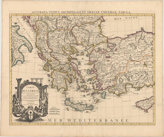
Subject: Greece & Western Turkey
Period: 1730 (circa)
Publication:
Color: Hand Color
Size:
23.3 x 17.8 inches
59.2 x 45.2 cm
Download High Resolution Image
(or just click on image to launch the Zoom viewer)
(or just click on image to launch the Zoom viewer)