Catalog Archive
Auction 149, Lot 536

"Grade Russie ou Blanche avec Ses Confins", Picart, Nicolas

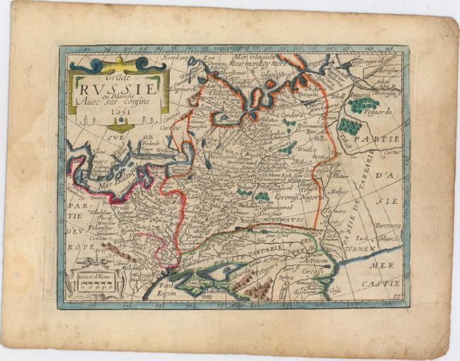
Subject: Russia and Eastern Europe

Period: 1651 (dated)

Publication: Tresor des Cartes Geographiques

Color: Hand Color

Size:
7.3 x 5.5 inches
18.5 x 14 cm
Download High Resolution Image
(or just click on image to launch the Zoom viewer)

This small map of western Russia shows the area between the Baltic, Black, Caspian, and Barents Seas. Hundreds of towns, political boundaries, and rivers are well delineated. This map appeared in Picart's very rare Tresor des Cartes Geographiques, which was first published in 1651. Picart based the maps off of Jean Boisseau's Tresor des Cartes from 1643. Picart's plates were apparently passed down to Antoine de Fer, who, together with Pierre Duval, republished them with some changes for Cartes de Geographie in 1657.

References:

Condition: B+

A nice impression with light soiling.

Estimate: $160 - $200

Sold for: $130

Closed on 5/21/2014

Archived