Catalog Archive
Auction 149, Lot 493
"Les Environs de Paris, a l'Usage de Monseigneur le Duc de Bourgogne", Delisle/Covens & Mortier
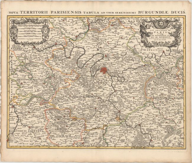
Subject: Paris, France
Period: 1730 (circa)
Publication:
Color: Hand Color
Size:
24.2 x 18 inches
61.5 x 45.7 cm
Download High Resolution Image
(or just click on image to launch the Zoom viewer)
(or just click on image to launch the Zoom viewer)