Catalog Archive
Auction 149, Lot 489
NO RESERVE
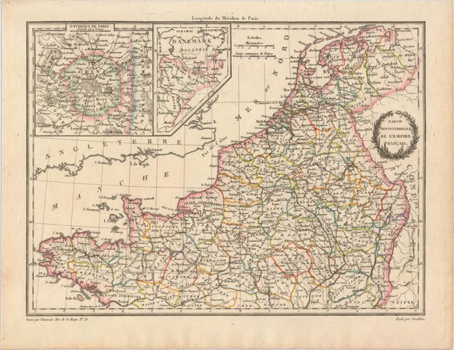
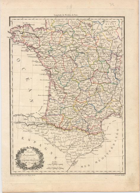
"[Lot of 2] Partie Septentrionale de l'Empire Francais [and] Partie Occidentale de l'Empire Francais", Malte-Brun, Conrad
1 of 2
Subject: France
Period: 1812 (circa)
Publication: Precis de la Geographie Universelle...
Color: Hand Color
Size:
11.9 x 8.8 inches
30.2 x 22.4 cm
Download High Resolution Image
(or just click on image to launch the Zoom viewer)
(or just click on image to launch the Zoom viewer)