Catalog Archive
Auction 149, Lot 414

"Nouvelle Carte pour Servir a l'Histoire de l'Empire d'Occident Depuis les Premiers Empereurs Romains Jusques Apres les Successeurs de l'Empereur Theodose avec des Tables et des Remarques Trens Instructives", Chatelain, Henry Abraham

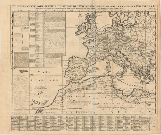
Subject: Europe, Northern Africa

Period: 1719 (circa)

Publication: Atlas Historique

Color: Black & White

Size:
22.9 x 19.9 inches
58.2 x 50.5 cm
Download High Resolution Image
(or just click on image to launch the Zoom viewer)

This interesting map reflects the extent of the Roman Empire in Europe and northern Africa. The map features good topographical detail, and provinces, client states, cities, and rivers are named. There is an extensive key to important locations at bottom and a legend at upper left providing information on the governing hierarchy. A few historical and geographical notes in Latin appear within the map.

References:

Condition: B+

A fine impression issued folding with a few extraneous creases, minor offsetting, and a hint of toning that is most noticeable in the blank margins.

Estimate: $160 - $200

Sold for: $90

Closed on 5/21/2014

Archived