Catalog Archive
Auction 149, Lot 342

"Carte Generale des Iles Antilles, d'une Partie du Mexique, des Etats-Unis & de l'Amerique Meridionale...", Brue, Adrien Hubert

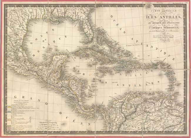
Subject: Gulf of Mexico and Caribbean

Period: 1821 (dated)

Publication:

Color: Hand Color

Size:
20.4 x 14.7 inches
51.8 x 37.3 cm
Download High Resolution Image
(or just click on image to launch the Zoom viewer)

This attractive chart covers the far southern United States, Mexico, Central America, the West Indies and the northern coastline of South America. The map is highly detailed along the coastlines with mainly rivers and topography noted inland. A key in the bottom corner identifies the possessions of the Spanish, French, English, Danish, Dutch and Swedish. Decorated by fancy tilting, four distance scales, and a keyboard style border. The embossed publisher's stamp appears below the title.

References:

Condition: A

Dissected and backed on linen with just a few tiny, insignificant spots in the image.

Estimate: $180 - $220

Sold for: $100

Closed on 5/21/2014

Archived