Catalog Archive
Auction 149, Lot 333
"Plano de la Ciudad de Panama, y Su Arrabal", Lopez de Vargas Machuca, Thomas (don)
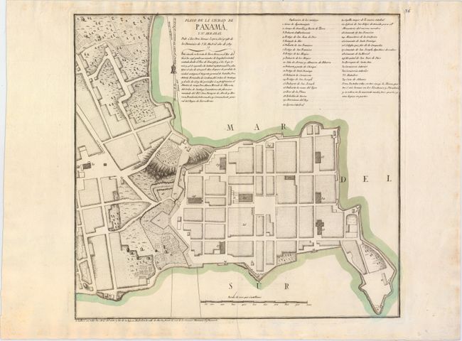
Subject: Panama City, Panama
Period: 1789 (dated)
Publication:
Color: Hand Color
Size:
16.3 x 15.3 inches
41.4 x 38.9 cm
Download High Resolution Image
(or just click on image to launch the Zoom viewer)
(or just click on image to launch the Zoom viewer)