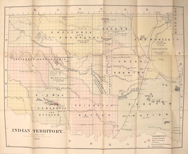
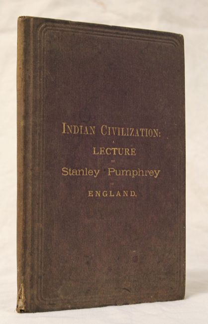
"Indian Territory [with] Indian Civilization: A Lecture by Stanley Pumphrey",
Subject: Oklahoma
Period: 1876 (dated)
Publication:
Color: Hand Color
Size:
27.8 x 21.9 inches
70.6 x 55.6 cm
This map is based upon the uncommon first edition of the series of General Land Office maps delineating the status of lands allocated to various tribes, but with slightly fewer details. Indian removals from 'home lands' began as early as 1817 and in the years following many of the principal eastern Indian tribes were relocated. By 1879, the region was divided into a myriad of Indian nations and reservations, all but the smallest of which are annotated here with references to one or more treaties relating to their formation. In addition to the tribal boundaries, the map includes fascinating detail of early forts, settlements, roads and trails. The territorial capital is at Ockmulgee.
The map is still bound into the 52 pp. report of "The Bible and Tract Distributing Society", which discusses the mistreatment of the Indian population. The society's main purpose was to publish and disseminate Christian literature. Octavo, hardbound in red cloth covered boards with gilt title on front cover.
References:
Condition: A
Condition code is for the map which is near fine with just a little faint toning along one fold. Text is mostly clean and tight with a faint damp stain confined to the bottom edge of the first few sheets. Covers are lightly worn and well faded with a small chip at the bottom of the spine.