Catalog Archive
Auction 149, Lot 255

"Lloyd's Official Map of Missouri", Lloyd, James T.
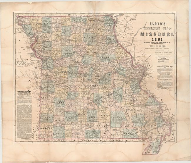
Subject: Missouri

Period: 1861 (dated)

Publication:

Color: Hand Color

Size:
26.6 x 23.6 inches
67.6 x 59.9 cm
Download High Resolution Image
(or just click on image to launch the Zoom viewer)

This large format map of the state is filled with details including the location of towns, cities, wagon roads, and both existing and proposed railroads. The map also identifies several lead and copper mines in the southeastern section of the state, commonly called the "lead belt" (this region of the country produces over 70% of the U.S. supply of lead). Advertisements for "Lloyd's Great Military Map" and "Topographical Map of the State of Virginia" flank the map image.

References: Stephenson (CW) #296.3.

Condition: B

Issued folding and now flattened with heavy tissue to reinforce and repair several short centerfold separations and a few small holes at fold intersections, which resulted in some minor loss of image. Several large damp stains are visible in the image.

Estimate: $300 - $375

Sold for: $220

Closed on 5/21/2014

Archived