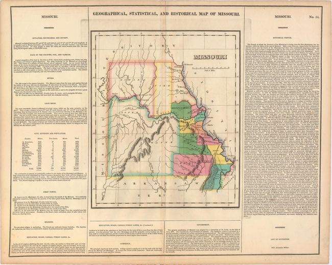
"Geographical, Statistical, and Historical Map of Missouri", Carey & Lea
Subject: Missouri
Period: 1822 (circa)
Publication: A Complete Historical, Chronological, and Geographical American Atlas
Color: Hand Color
Size:
9.9 x 11.9 inches
25.1 x 30.2 cm
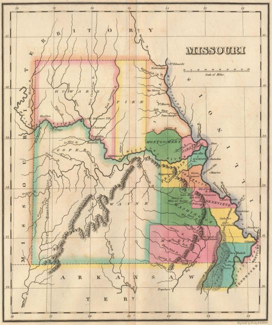
This is the first published map of Missouri as a state and is surrounded by text describing the boundaries, rivers, climate, chief towns, commerce, education, and religion of the state. The map depicts 15 counties with virtually all settlement concentrated along the Missouri and Mississippi rivers. In the western portion of the state the Osage Boundary Line is shown, in reference to the Treaty of Fort Clark (1808) in which the Osage Nation ceded everything east of this line and north of the Arkansas River to the United States. On a full folio sheet (20.7 x 16.8") and engraved by Young & Delleker.
References: Phillips (A) #1373a-34.
Condition: B+
A fine impression with bold original color, light offsetting, minor toning along centerfold, and short centerfold separations at top and bottom that have been archivally repaired.