Catalog Archive
Auction 149, Lot 23

"Mappe-Monde", Dampier, William (Capt.)
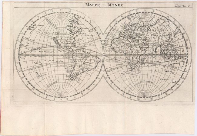
Subject: World

Period: 1723 (circa)

Publication: Nouveau Voyage Autour du Monde

Color: Black & White

Size:
11.7 x 6.5 inches
29.7 x 16.5 cm
Download High Resolution Image
(or just click on image to launch the Zoom viewer)

This striking double-hemisphere world map traces the route of explorer William Dampier across the globe. It shows California as an island, with the Strait of Anian appearing to the north. The only other details in what would become the United States are a few unnamed rivers and three large place names: Virginie and Floride in the southeast, and N. Mexique in the southwest. In between Japan and the vague northwestern coast of North America is Terre de la Compagnie. New Guinea is attached to an Australia with incomplete borders, while New Zealand is represented as just a single unfinished coastline. From the French edition of Dampier's New Voyage Round the World.

References:

Condition: A

Issued folding on a watermarked sheet with a couple tiny spots and two printer's creases at right.

Estimate: $375 - $450

Sold for: $245

Closed on 5/21/2014

Archived