Catalog Archive
Auction 149, Lot 224

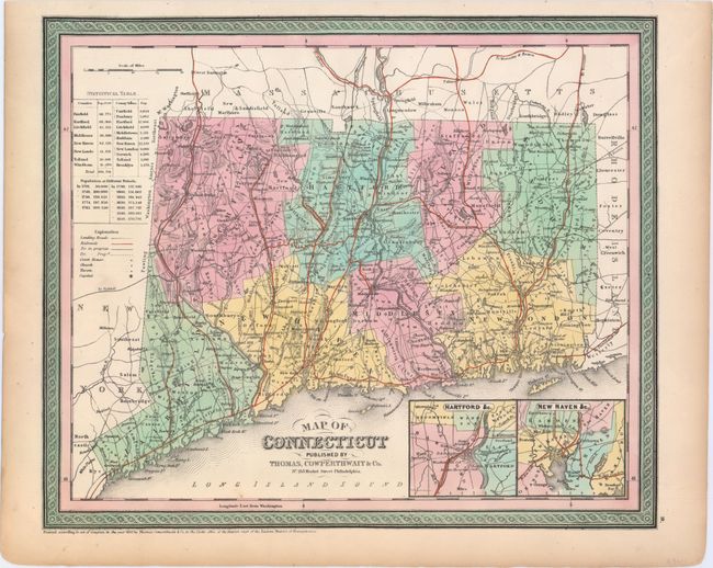
"Map of Connecticut", Thomas, Cowperthwait & Co.
Subject: Connecticut

Period: 1850 (dated)

Publication: Mitchell's New Universal Atlas

Color: Hand Color

Size:
14.9 x 12.4 inches
37.8 x 31.5 cm
Download High Resolution Image
(or just click on image to launch the Zoom viewer)

This handsome map of the state and counties features fancy titling and decorative borders. It is well detailed, locating numerous cities and towns, railroads, canals, courthouses, churches, and taverns. Insets of the vicinity around Hartford and New Haven appear at bottom right. Statistical tables give population by county and at different periods beginning in 1701.

References:

Condition: A

One faint spot near the border at bottom and marginal toning, else fine.

Estimate: $140 - $170

Unsold

Closed on 5/21/2014

Archived