Catalog Archive
Auction 149, Lot 204

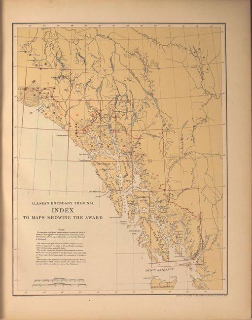
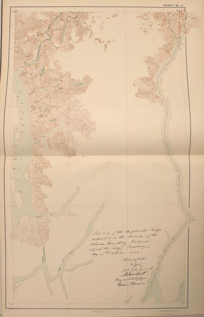
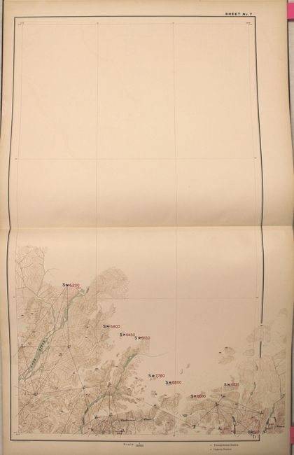
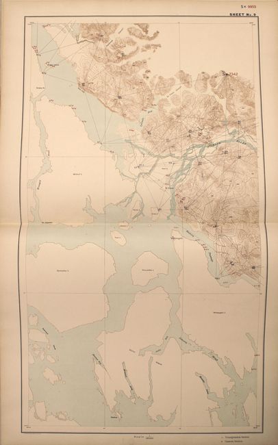
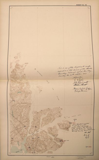
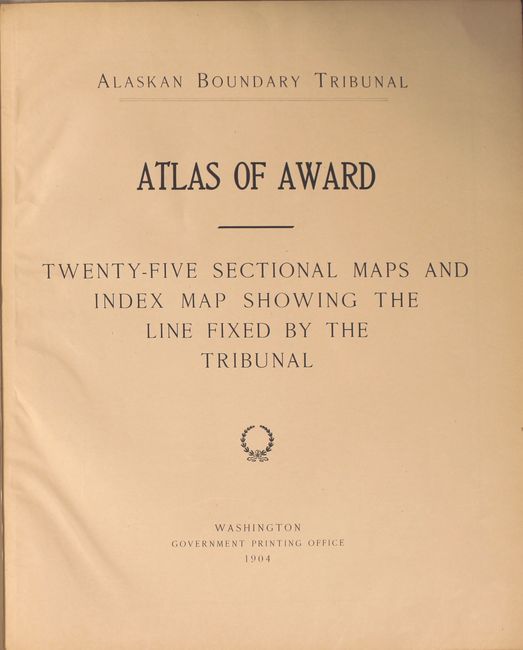
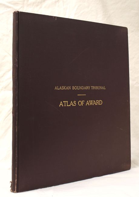
"Alaskan Boundary Tribunal Atlas of Award Twenty-Five Sectional Maps and Index Map Showing the Line Fixed by the Tribunal", U.S. Gov't Printing Office

Subject: Alaska

Period: 1904 (published)

Publication:

Color: Printed Color

Size:
16.2 x 19.1 inches
41.1 x 48.5 cm
Download High Resolution Image
(or just click on image to launch the Zoom viewer)

This atlas shows in great detail the end result of the Alaskan Boundary Tribunal. There are twenty-five maps consisting of 21 double-page sectional maps, three single-page sectional maps, and an index map. Some of the maps have facsimile notes signed by members of the commission. The Alaska boundary dispute of 1903 concerned the southernmost portion of Alaska and its border with Canada. Although seemingly insignificant today, it was a hotly debated issue in its time. Folio. Hardbound in maroon cloth with gilt title on front cover.

References:

Condition: A

The maps are in near fine condition with only light toning along sheet edges. The hinges are starting, the covers are lightly worn, and there is a small chip at the bottom of the spine. An overall attractive example.

Estimate: $275 - $350

Sold for: $200

Closed on 5/21/2014

Archived