Catalog Archive
Auction 149, Lot 150

"Panorama of the Seat of War", Wells, J.

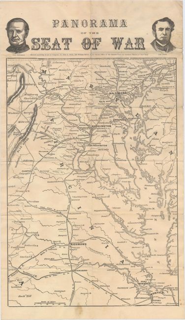
Subject: Mid-Atlantic United States, Civil War

Period: 1861 (circa)

Publication:

Color: Black & White

Size:
9.2 x 15.4 inches
23.4 x 39.1 cm
Download High Resolution Image
(or just click on image to launch the Zoom viewer)

This rare Civil War map covers the region from Havre de Grace, Maryland south to Petersburg and Norfolk, Virginia. It shows the principal towns along with rail lines, courthouses, and the location of the Battle of Bull Run on July 21st, 1861. Above the map image are the portraits of Commanders Stringham and Foote.

References:

Condition: B+

Issued folding with a few short fold separations closed on verso with archival tape and minor soiling primarily in the blank margins.

Estimate: $350 - $450

Sold for: $300

Closed on 5/21/2014

Archived