Catalog Archive
Auction 149, Lot 136

"Carte des Etats-Unis d'Amerique Comprenant une Partie des Districts de l'Ouest et de la Nouvelle Bretagne", Andriveau-Goujon, J.

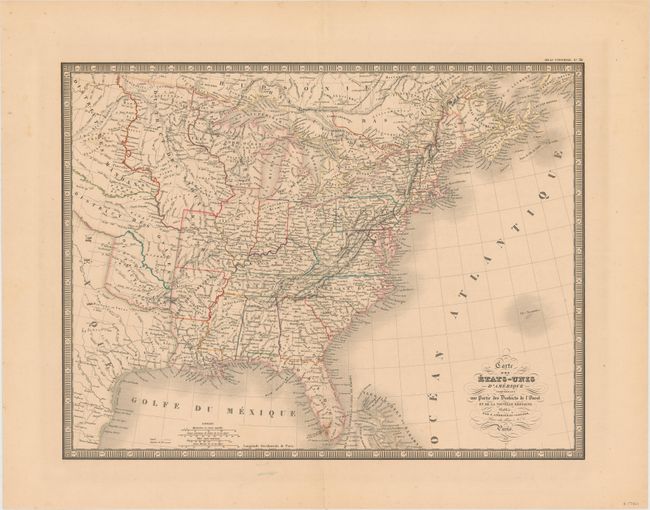
Subject: Eastern United States

Period: 1837 (dated)

Publication: Atlas Universel

Color: Hand Color

Size:
19.8 x 15.1 inches
50.3 x 38.4 cm
Download High Resolution Image
(or just click on image to launch the Zoom viewer)

Attractive map that is filled with interesting detail, hundreds of place names, plus Indian tribes, forts, roads and other political and geographical information. West of the Mississippi River are several large Indian Districts. Surrounded by a bold keyboard-style border.

References:

Condition: B+

Original color with very light toning, a few minor spots, and a centerfold separation confined to the lower blank margin.

Estimate: $150 - $200

Sold for: $75

Closed on 5/21/2014

Archived