Catalog Archive
Auction 148, Lot 94

"North America", Greenleaf, Jeremiah

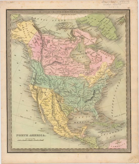
Subject: North America, Texas

Period: 1842 (circa)

Publication: A New Universal Atlas

Color: Hand Color

Size:
11.8 x 12.5 inches
30 x 31.8 cm
Download High Resolution Image
(or just click on image to launch the Zoom viewer)

This map illustrates an interesting period in the political development of North America. The independent Republic of Texas is nestled between the United States and Mexico, which controls all of the Southwest. The United States is shown with its claims in Oregon Territory that extend to the Boundary of 1824 (referring to the Russo-American Treaty). Alaska is Russian America. The Province of Canada is shown as a separate entity from New Britain following the Rebellions of 1837. The map is filled with much else of interest including the Great American Desert and the Great Sandy Desert.

References:

Condition: B+

Original color with light scattered foxing.

Estimate: $220 - $250

Sold for: $230

Closed on 2/19/2014

Archived