Catalog Archive
Auction 148, Lot 765

"Carte de l'Australie, (Partie Sud-Ouest de l'Oceanie)", Brue, Adrien Hubert
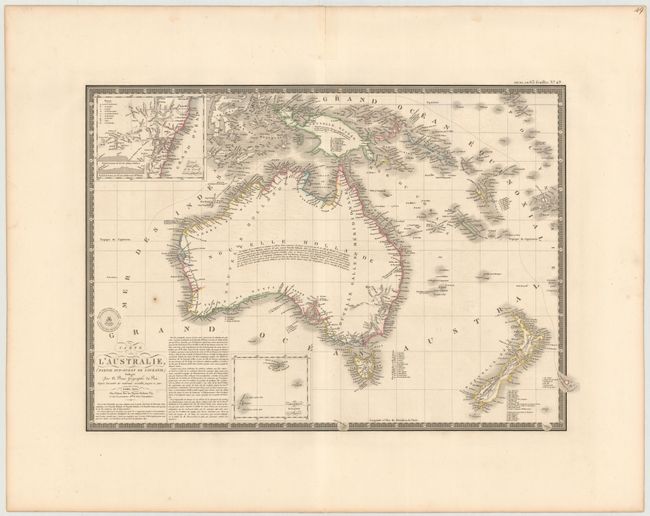
Subject: Australia

Period: 1826 (dated)

Publication:

Color: Hand Color

Size:
21 x 14.3 inches
53.3 x 36.3 cm
Download High Resolution Image
(or just click on image to launch the Zoom viewer)

This is a terrific and attractive map of New Holland which includes New Zealand and New Guinea, plus many smaller islands of the East Indies. The coastal detail is exceptional with a large number of place names, but the interior is virtually blank. An inset of the southeast coast is centered on the unnamed Sydney and has a key locating the nine political divisions. The inset locates Port Macquarie, Port Jackson, Port Hunter, Port Stephens, Botany Bay, and extends into the interior well west of the Blue Mountains. With Brue's embossed seal and a decorative keyboard-style border.

References:

Condition: B+

Wide, original margins with one small spot above title, light offsetting in the image, and a centerfold separation confined to top blank margin that has been closed on recto with archival tape.

Estimate: $325 - $400

Sold for: $240

Closed on 2/19/2014

Archived