Catalog Archive
Auction 148, Lot 742

"A Chart of the Grain Ivory & Quaqua Coasts in Guinea. From Cape St. Anee to Teen Pequene", Mount & Page

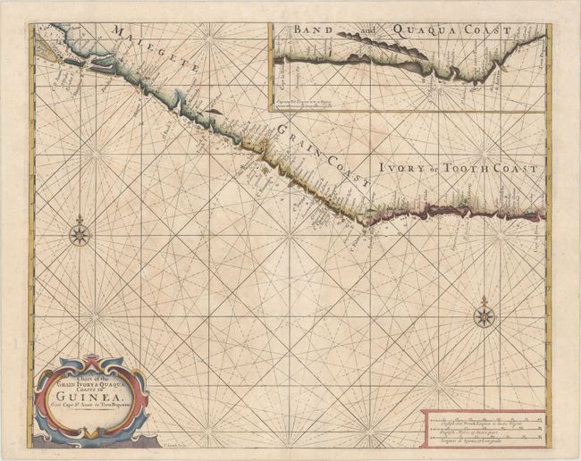
Subject: Western Africa

Period: 1739 (circa)

Publication: English Pilot, Part V

Color: Hand Color

Size:
20.7 x 16.9 inches
52.6 x 42.9 cm
Download High Resolution Image
(or just click on image to launch the Zoom viewer)

This is an uncommon English coastal chart engraved by Francis Lamb. It covers the coast from Malegete (Sierra Leone) to the Ivory or Tooth Coast (Cote d'Ivoire). An inset map at upper right continues the coverage with the Band and Quaqua Coast (Gold Coast, Ghana). The handsome map has a strapwork title cartouche, two compass roses and rhumb lines.

References: Shirley (BL Atlases) M.M&P-6a #15.

Condition: B+

The thick, watermarked paper has a bit of faint uneven toning and an archivally repaired centerfold separation that enters 1.5" into image at bottom.

Estimate: $240 - $300

Sold for: $170

Closed on 2/19/2014

Archived