Catalog Archive
Auction 148, Lot 380

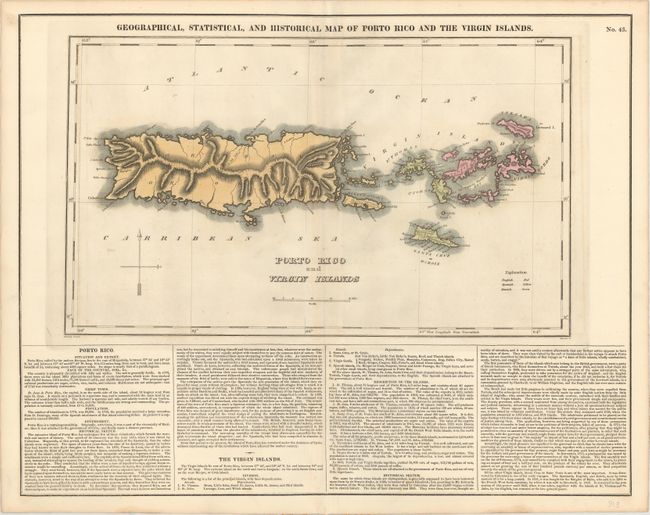
"Geographical, Statistical, and Historical Map of Porto Rico and the Virgin Islands", Carey & Lea

Subject: Puerto Rico, Virgin Islands

Period: 1822 (circa)

Publication: A Complete Historical, Chronological, and Geographical American Atlas

Color: Hand Color

Size:
17.2 x 10.3 inches
43.7 x 26.2 cm
Download High Resolution Image
(or just click on image to launch the Zoom viewer)
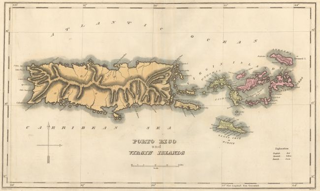
The map is on a full folio sheet (20.8 x 16.5") with English text giving a brief description of the islands, chief towns, population, government and history. Shows good detail along the coastline with little inland information. Colored to show the possessions of the English, Dutch and Spanish. Engraved by Kneass.

References: Phillips (A) #1373a-43.

Condition: B+

A strong impression on a sheet with a six-pointed star watermark. There is faint offsetting and toning along the centerfold.

Estimate: $160 - $200

Sold for: $210

Closed on 2/19/2014

Archived