Catalog Archive
Auction 148, Lot 319

"Texas", Colton, Joseph Hutchins
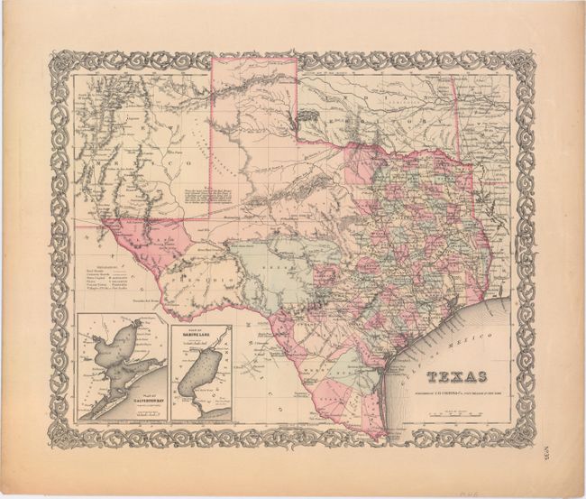
Subject: Texas

Period: 1855 (dated)

Publication: Atlas of the World

Color: Hand Color

Size:
16 x 12.8 inches
40.6 x 32.5 cm
Download High Resolution Image
(or just click on image to launch the Zoom viewer)

This is Colton's only map of Texas published on a single sheet. The handsome map has extensive detail throughout the settled part of the state. County development ends with the recent organization of Bosque, Johnson, Coryelle, and Karnes counties. Tarrant county appears, but not the 1855 addition of Parker to Tarrant's west. The western third is comprised of the large unsettled areas of Presidio, El Paso, Bexar and the Staked Plain. It locates railroads, forts, post offices, roads, springs, and topographical detail. With two insets: Plan of Galveston Bay from the U.S. Coast Survey, and Plan of Sabine Lake. All contained in Colton's decorative scroll border. The map is accompanied by an additional sheet of text describing the state.

References:

Condition: A

Map image is near fine with light toning along the edges of the sheet.

Estimate: $400 - $500

Sold for: $300

Closed on 2/19/2014

Archived