Catalog Archive
Auction 148, Lot 224

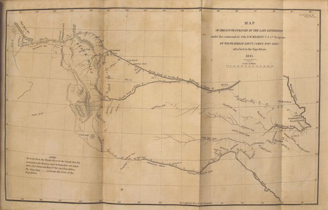
"Map of the Route Pursued by the Late Expedition under the Command of Col. S.W. Kearney, U.S. 1st Dragoons [with report]", Franklin, William Buell [Lt.]

Subject: Western United States

Period: 1845 (dated)

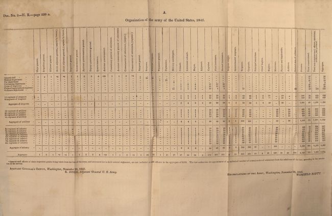
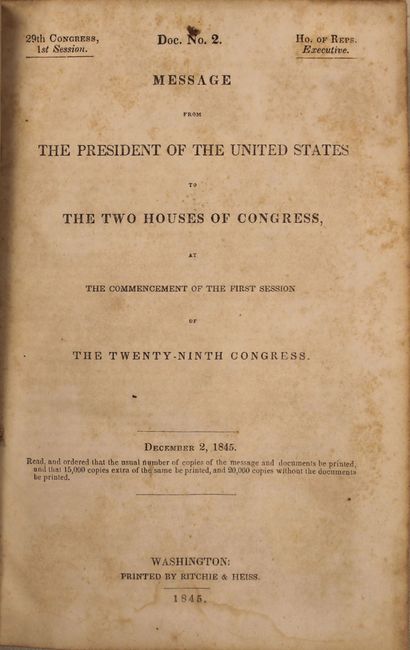
Publication: HR. Doc 2, 29th Congress, 1st Session

Color: Black & White

Size:
13 x 8 inches
33 x 20.3 cm
Download High Resolution Image
(or just click on image to launch the Zoom viewer)

This is an early and historical map of the region included in the uncommon H.R. Document #2. Part of this map is based on Fremont's map of 1843. It covers the region between the Arkansas and Platte Rivers, and extends westward to South Pass and the Green River. The dragoons departed Ft. Leavenworth and marched to South Pass via the Oregon Trail and returned 99 days later via the Arkansas River route, a distance of 2,200 miles over the tough western terrain. Engraved by the firm of Smith & McClelland.

The map is still bound into the 893 pp. report which includes 7 folding tables. The text includes interesting information involving the annexation of Texas (including various proclamations by Anson Jones), the Oregon boundary question, and Colonel Kearny's report and map of his expedition to the Rocky Mountains. 893 pp. Octavo, hardbound in quarter leather other marbled boards.

References: Wheat [TMW] #495; cf. Wagner-Camp #117.

Condition: B+

Map and text are lightly toned and foxed, with a faint damp stain confined to bottom blank margin. Contents are tight with the usual minor shelf wear.

Estimate: $250 - $325

Sold for: $275

Closed on 2/19/2014

Archived