Catalog Archive
Auction 148, Lot 173

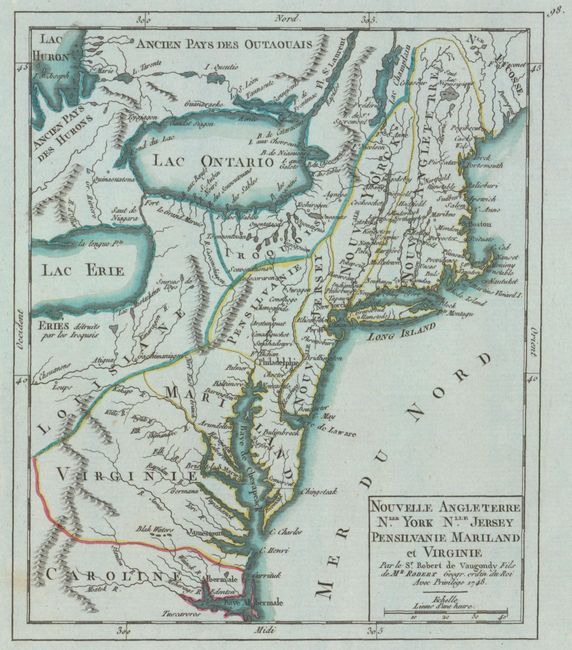
"Nouvelle Angleterre Nlle. York Nlle. Jersey Pensilvanie Mariland et Virginie", Robert de Vaugondy, Didier
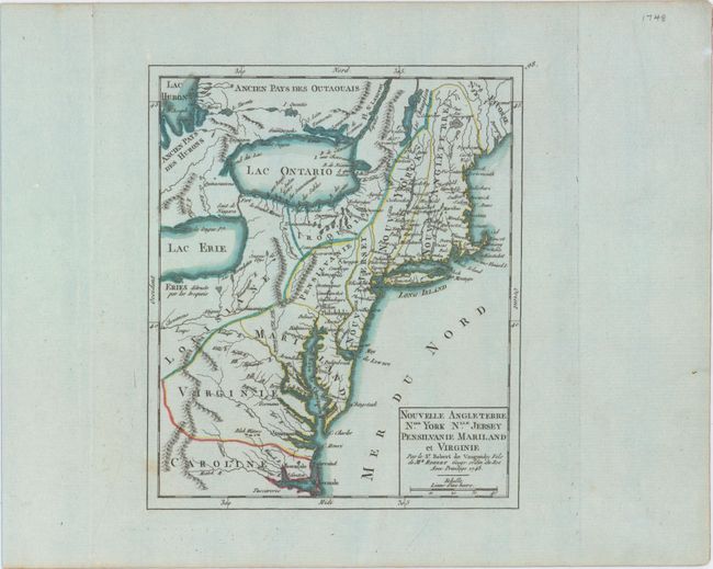
Subject: Colonial New England & Mid-Atlantic United States

Period: 1748 (dated)

Publication: Atlas Portatif Universel et Militaire

Color: Hand Color

Size:
6.4 x 7.6 inches
16.3 x 19.3 cm
Download High Resolution Image
(or just click on image to launch the Zoom viewer)

This small map shows the political situation in North America from the French perspective at the conclusion of the conflict known as King George's War, the third of the four French and Indian Wars. It covers the eastern seaboard from the Carolinas north through New England and west to include most of Lake Erie. The region west of the mountains is labeled Louisiane and, farther north, Iroquois. Most of the place names outside of the coastal regions are Indian names or French forts.

References: McCorkle #748.1; Pedley #468.

Condition: A+

On bluish watermarked paper with ample margins and a single unobtrusive spot.

Estimate: $275 - $350

Sold for: $200

Closed on 2/19/2014

Archived