Catalog Archive
Auction 147, Lot 561

"Tab. I. Asiae, in qua Galatia, Cappadocia, Pontus, Bithynia, Asia Minor, Pamphylia, Lycia, ac Cilicia...", Ptolemy/Mercator

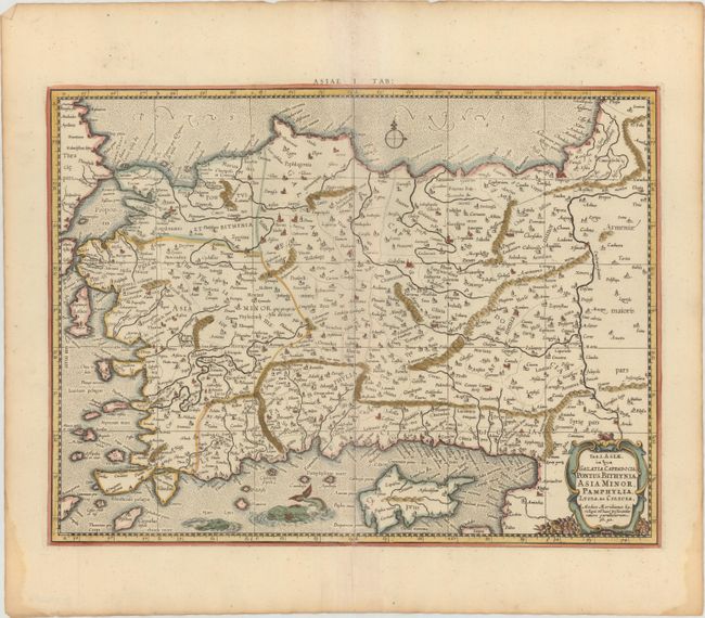
Subject: Turkey, Cyprus

Period: 1730 (published)

Publication: Claudii Ptolemaei's Atlas Tabulae Geographicae Orbis Terrarum

Color: Hand Color

Size:
18 x 13.5 inches
45.7 x 34.3 cm
Download High Resolution Image
(or just click on image to launch the Zoom viewer)

A fine Ptolemaic map of Turkey and Cyprus showing its ancient political divisions. The map is adorned with a strapwork title cartouche and two fierce sea monsters in the Mediterranean Sea. Mercator originally published this map in his 1578 edition of Ptolemy's great Geography. Although he is most renowned today for the projection he popularized and for first using the term Atlas for a collection of maps, he devoted much of his life to his Ptolemaic maps. The maps were beautifully engraved as nearly as possible to their original form and embellished with fine cartouches. This is the third state with a re-engraved title cartouche and the addition of a grid, published by R. and J. Westenios and Guil. Smith.

References: Mickwitz & Miekkavaara #235-7; Van der Krogt (Vol. I) #0921:1.3.

Condition: A

Nice impression and color on watermarked paper with light toning along sheet edges and damp stains in bottom corners, far from image.

Estimate: $200 - $230

Sold for: $150

Closed on 11/20/2013

Archived