Catalog Archive
Auction 147, Lot 422
"Nieuwe Pas-Kaert vande Oost Kust van Yrland, Beginnende van de Hoeck van Waterfoort tot aen de Mayds, als mede de West Kust van Engeland van S. David tot Moul van Galoway…", Keulen, Johannes van
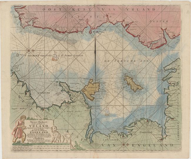
Subject: Ireland & England
Period: 1681 (circa)
Publication:
Color: Hand Color
Size:
22.6 x 19.4 inches
57.4 x 49.3 cm
Download High Resolution Image
(or just click on image to launch the Zoom viewer)
(or just click on image to launch the Zoom viewer)