Catalog Archive
Auction 147, Lot 296

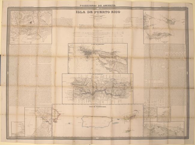
"Isla de Puerto Rico", Coello y Quesada, Francisco

Subject: Puerto Rico

Period: 1851 (dated)

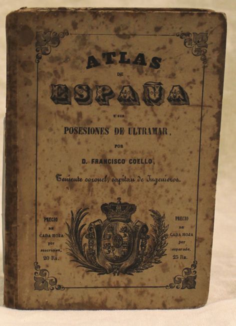
Publication: Atlas de Espana y sus Posesiones de Ultramar

Color: Hand Color

Size:
40.4 x 29.2 inches
102.6 x 74.2 cm
Download High Resolution Image
(or just click on image to launch the Zoom viewer)

Francisco Coello de Portugal y Quesada (1822-1898) was a Spanish cartographer and military professional who authored an atlas of Spanish possessions overseas, published in Madrid between 1848 and 1869. The atlas was created as an accompaniment to the Diccionario Geografico Estadistico Historico by Pascual Madoz. Although 65 maps were originally planned, only 45 maps were eventually completed. Each map was issued in folded form with pocket map covers. Coello studied at the Academia de Ingenieros de Guadalajara (Academy of Engineering in Guadalajara) and was assigned as Lieutenant Colonel of the Spanish Corps of Engineers and stationed in Algeria in 1844. Coello founded the Sociedad Geografica de Madrid (Geographical Society of Madrid) in 1876, which later became the Real Sociedad Geografica de Espana (Royal Geographical Society of Spain).

This map of Puerto Rico is sheet 41 from the Atlas de Espana, and contains ten maps and text on one large sheet. One of the central maps on the sheet shows the entire island of Puerto Rico, with great detail of the interior topography of the land, towns, roads, and rivers. Another map focuses on the capital, San Juan, with a bird's-eye plan of the town and numerous depth soundings. At bottom center is a map showing the relative size of Puerto Rico and its distance from neighboring islands, including Hispaniola and the US Virgin Islands. Additional maps depict various ports around the island, with great detail of soundings, topography, roads, and towns. The text gives historical, contextual, and statistical information on Puerto Rico. Issued folding with paper boards, with the atlas title and a coat of arms printed on the front cover and details about the atlas on the back cover.

References: Phillips (Atlases) #3137.

Condition: B

The map is in good condition with original outline color, light toning along folds, a hint of offsetting, and mild, scattered foxing. There is one archivally repaired fold separation that enters 1" into text at right. The covers are heavily foxed and soiled.

Estimate: $1,400 - $1,800

Unsold

Closed on 11/20/2013

Archived