Catalog Archive
Auction 146, Lot 740

"Africa Antiqua", Neele, Samuel John
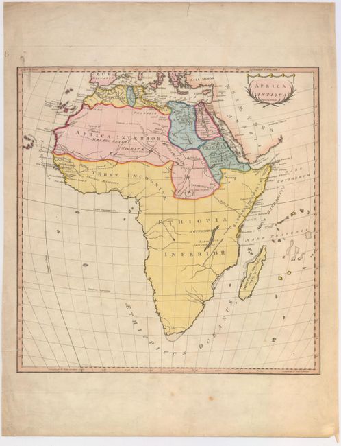
Subject: Africa

Period: 1798 (circa)

Publication: An Universal Atlas

Color: Hand Color

Size:
14.4 x 14.6 inches
36.6 x 37.1 cm
Download High Resolution Image
(or just click on image to launch the Zoom viewer)

This attractive map of Africa shows the ancient geography with little inland detail. There is a lake named Agizymba in the central portion of the country which most likely refers to present-day Lake Victoria. The Mountains of the Moon appear north of the Equator, with two lakes depicted as the source of the Nile River. A large portion of the continent towards the west is labeled Terrae Incognitae. Adorned by a decorative title cartouche. This map was published in in Thomas Stackhouse's Universal Atlas, which contained 40 maps engraved by Neele.

References: Shirley (BL Atlases) T.STA-1c.

Condition: B+

Issued on watermarked paper with light soiling confined primarily to the blank margins and one small edge tear that just enters the border at left and has been closed on verso with archival tape.

Estimate: $120 - $150

Unsold

Closed on 9/4/2013

Archived