Catalog Archive
Auction 146, Lot 659

"Generaale Kaart van het Beloofde Land tot Verlichting voor de Geschiedenisse; Vervat in des Bybel…", Elwe, Jan Barend
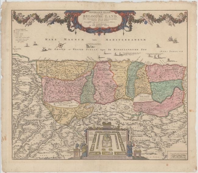
Subject: Holy Land

Period: 1792 (dated)

Publication: Atlas Geographique et Universel

Color: Hand Color

Size:
23.3 x 19.5 inches
59.2 x 49.5 cm
Download High Resolution Image
(or just click on image to launch the Zoom viewer)

Large, detailed map of the Holy Land based on De Wit's map. West is oriented to the top of the map, which is spanned by a large title cartouche draped in a garland held aloft by six cherubs. The Mediterranean is filled with various types of ships and boats, including a depiction of Jonah and the whale. The map is divided into the twelve tribes of Israel. Several roads are depicted and the route of the Children of Israel through the desert. At bottom center is an engraving of the Tabernacle surrounded by the twelve tribes and flanked by Moses and Aaron.

References: Laor #268.

Condition: B+

Original color on map with later color on decorative elements. On watermarked paper with a few faint spots and light soiling. Centerfold is reinforced on verso with archival material.

Estimate: $450 - $550

Unsold

Closed on 9/4/2013

Archived