Catalog Archive
Auction 146, Lot 527

"Vindeliciae et Norici Conterminarumque Terrarum Antiqua Descriptio", Cluver/Jansson

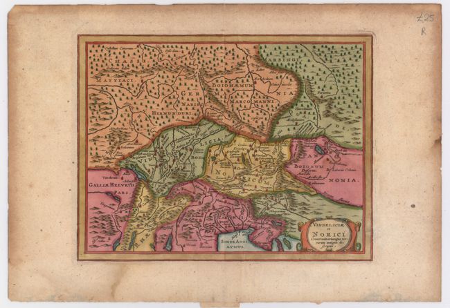
Subject: Central Europe

Period: 1661 (published)

Publication: Introductionis in Universam Geographicam

Color: Hand Color

Size:
8 x 6.2 inches
20.3 x 15.7 cm
Download High Resolution Image
(or just click on image to launch the Zoom viewer)

This historical map shows an important region of the old Roman Empire, covering parts of Germany, Austria, Switzerland, Hungary and Italy. Centered roughly on the important Danube River which flows across the map. A simple strapwork title cartouche adorns the map.

References:

Condition: B+

Watermarked paper with a faint damp stain at bottom and light toning and soiling along the edges of the sheet.

Estimate: $80 - $100

Unsold

Closed on 9/4/2013

Archived