Catalog Archive
Auction 146, Lot 516

"Carte des Royaumes d'Espagne et de Portugal dans laquelle sont Tracees les Routes de Postes", Robert de Vaugondy, Gilles

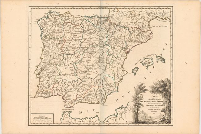
Subject: Spain & Portugal

Period: 1757 (dated)

Publication: Atlas Universel

Color: Hand Color

Size:
22.5 x 18.9 inches
57.2 x 48 cm
Download High Resolution Image
(or just click on image to launch the Zoom viewer)

This large, finely engraved map details the postal routes of Spain and Portugal and extends to include with the islands of Majorca, Ibiza, and Minorca. It includes towns, mountains, rivers, lakes, and a host of other details. Elisabeth Haussard engraved the pictorial cartouche that features a letterbox and an early mail coach.

Early maps rarely depicted roads and it was not until the middle of the 18th century that it became common for roads to be depicted cartographically. Increased road traffic and the development of formal postal systems spurred the production of maps that depicted roads. One specialized type of map that appeared in the 18th century consisted of highly detailed "post road maps." These maps showed incredible detail of the roads, stations (or stages), and the distances between them, as well as services available on the postal routes. Though many road maps were issued in the mail coach era, most were issued folded and they had a high rate of attrition due to hard use. The postal route maps issued in atlas format were less common at the time of publication, but are generally the ones that survive today.

References: Pedley #303.

Condition: B+

Fine original outline color, a sharp impression, and wide original margins. There is some light offsetting in the map, a minor spot, and light foxing in the blank margins.

Estimate: $220 - $300

Unsold

Closed on 9/4/2013

Archived