Catalog Archive
Auction 146, Lot 459
"Les Provinces-Unies Des Pays-Bas . . .", Robert de Vaugondy, Gilles
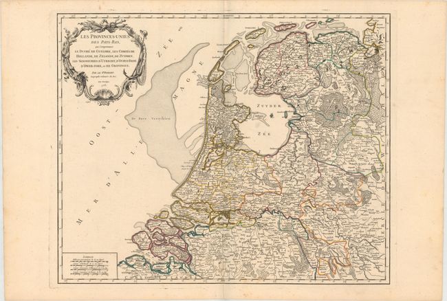
Subject: Netherlands
Period: 1753 (dated)
Publication: Atlas Universel
Color: Hand Color
Size:
23.2 x 19.1 inches
58.9 x 48.5 cm
Download High Resolution Image
(or just click on image to launch the Zoom viewer)
(or just click on image to launch the Zoom viewer)