Catalog Archive
Auction 146, Lot 440
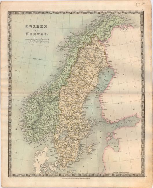
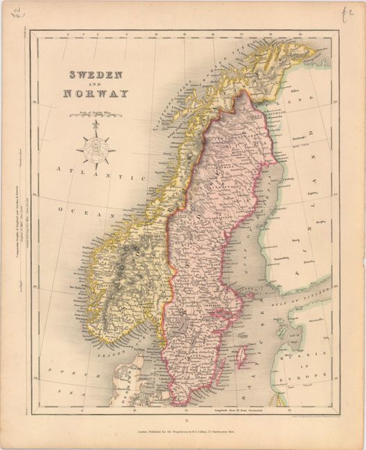
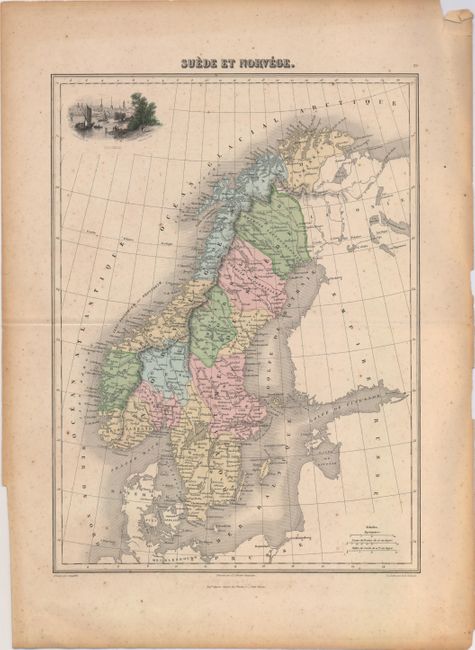
"[Lot of 3] Sweden and Norway [and] Sweden and Norway [and] Suede et Norvege",
1 of 3
Subject: Scandinavia
Period: 1834-70 (circa)
Publication:
Color: Hand Color
Size:
See Description
Download High Resolution Image
(or just click on image to launch the Zoom viewer)
(or just click on image to launch the Zoom viewer)