Catalog Archive
Auction 146, Lot 428

"Laudelia sive Lauderdalia Scoris vulgo Lauderdail", Blaeu, Johannes

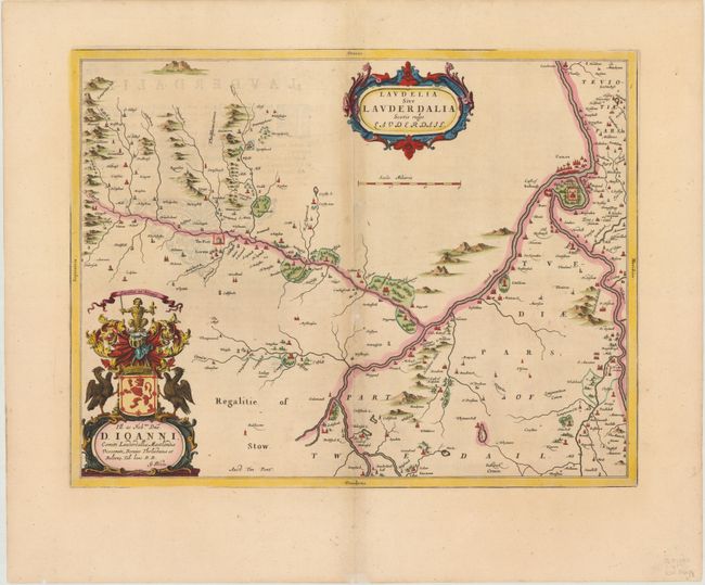
Subject: Southern Scotland

Period: 1654 (circa)

Publication: Theatrum Orbis Terrarum sive Atlas Novus

Color: Hand Color

Size:
19.9 x 15.5 inches
50.5 x 39.4 cm
Download High Resolution Image
(or just click on image to launch the Zoom viewer)

This lovely map shows the district of Lauderdale in southern Scotland, near the confluence of the rivers Lydyrr (River Leader) and Tweed, and includes great detail of the rivers, cities, villages and castles. Situated above Lauder is The Fort, which now is the location of Thirlestane Castle. Blaeu's rendering is based on the work of Timothy Pont, who conducted an important survey of Scotland in the late sixteenth century.

References: Phillips (Atlases) 5941, v.5 #6.

Condition: B+

Attractive color and wide margins with slight toning along centerfold and show through of text on verso. One small hole and a few small areas of paper weakness along the centerfold have been professionally repaired.

Estimate: $275 - $350

Sold for: $130

Closed on 9/4/2013

Archived