Catalog Archive
Auction 146, Lot 109

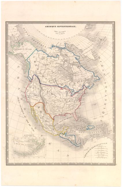
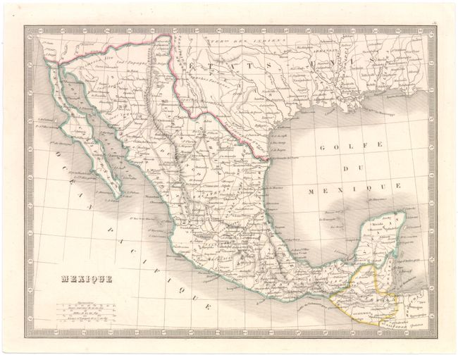
"[Lot of 2] Amerique Septentrionale [and] Mexique", Andriveau-Goujon, J.

Subject: North America, Mexico

Period: 1850 (circa)

Publication:

Color: Hand Color

Size:
See Description
Download High Resolution Image
(or just click on image to launch the Zoom viewer)

A. Amerique Septentrionale (11.3 x 14.8"). This map covers all of North America from Baffin Bay to Panama, with a portion of the northern South American coastline depicted. The northern border with Canada is shown extending well into present-day British Columbia reflecting U.S. claims in that region. The southwest is shown in its pre-Gadsden configuration, and while not colored, Texas is shown in its stovepipe configuration. Alaska is Amerique Russe. Engraved by Louis Antoine. Condition: Light offsetting and a few minor spots. (B+)

B. Mexique (11.3 x 8.6"). Centered on Mexico, the map shows political divisions, place names, rivers and the topography of the Sierra Madre mountains. The northern border with the United States follows the Gila River. The map extends north to include portions of Texas, Louisiana, Mississippi and Alabama. Condition: A bright, clean example. (A)

References:

Condition:

See descriptions above.

Estimate: $160 - $200

Sold for: $100

Closed on 9/4/2013

Archived