Catalog Archive
Auction 145, Lot 851

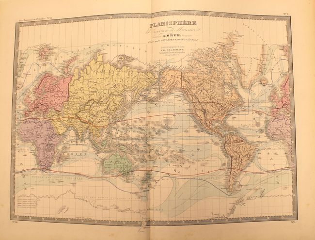
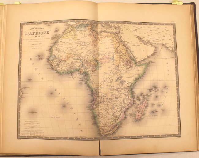
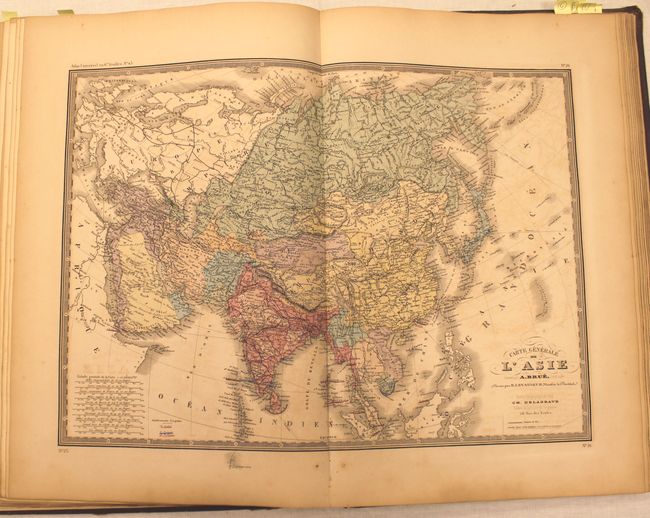
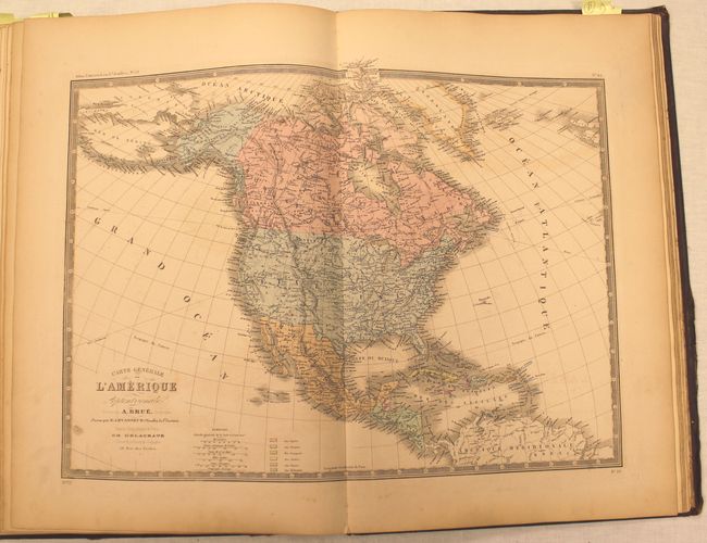
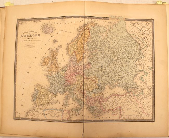
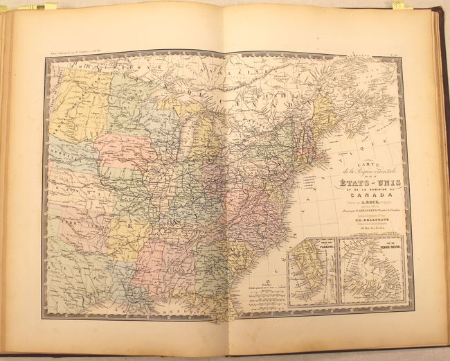
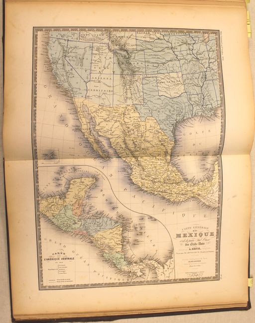
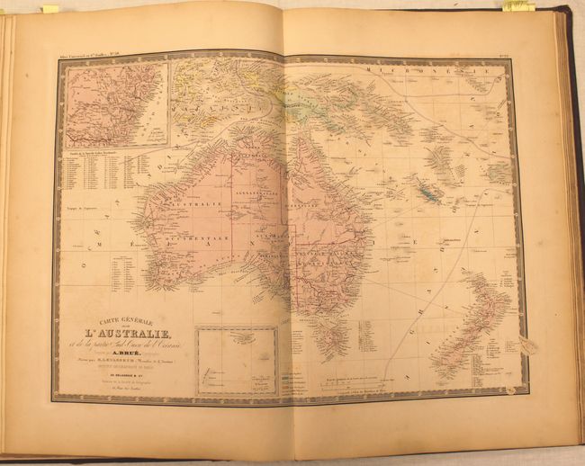
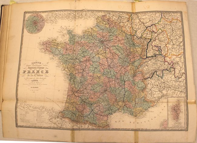
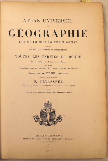
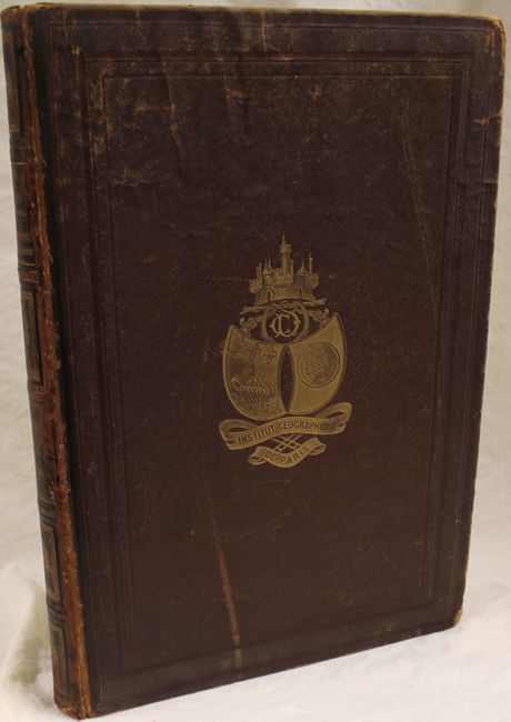
"Atlas Universel de Geographie Physique, Politique, Ancienne et Moderne Contenant les Cartes Generales et Particulieres de Toutes les Parties du Monde", Brue, Adrien Hubert

Subject: Atlases

Period: 1875 (circa)

Publication:

Color: Hand Color

Size:
13.2 x 19.2 inches
33.5 x 48.8 cm
Download High Resolution Image
(or just click on image to launch the Zoom viewer)

This complete atlas contains 67 maps of both the ancient and modern world. The contents include 1 celestial chart, 14 of the ancient world, and 52 of the modern world. The maps of the modern world break out as follows: World (3), Europe (24), Asia (5), Pacific (4), Africa (7) and Americas (9). Included in this count is a large folding map of France. All of the maps have Brue's decorative keyboard-style border.

The map titled Carte Generale du Mexique et de la Partie Sud-Ouest des Etats-Unis covers the southwestern United States, from California to the Mississippi River, and Mexico with a large inset map of Central America. The developed railway tracks and those under construction are shown. Other maps depicting the United States include Carte Generale de L’Amerique and Carte de la Region Orientale des Etats-Unis....

Title page, table of contents, and 67 maps. Elephant Folio. Quarter brown leather with gilt stamped brown cloth-covered boards with gilt titling on spine and marbled endpapers.

References:

Condition: B

The maps are in original color and are overall good to very good with some light toning and occasional offsetting. The large folding map of France is in satisfactory condition with numerous fold separations partially closed on verso with non-archival tape, and some fold separations in the blank margins that have been closed on recto also with non-archival tape. Contents are mostly tight. The hinge is starting, and the covers and spine are worn and bumped.

Estimate: $950 - $1,100

Unsold

Closed on 6/12/2013

Archived