Carey's Famous 1814 General Atlas
"Carey's General Atlas, Improved and Enlarged: Being a Collection of Maps of the World and Quarters, their Principal Empires, Kingdoms, &c.", Carey, Mathew
Subject: Atlases
Period: 1814 (published)
Publication:
Color: Hand Color
Size:
11.6 x 17.4 inches
29.5 x 44.2 cm
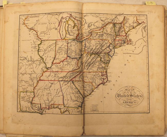
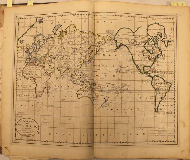
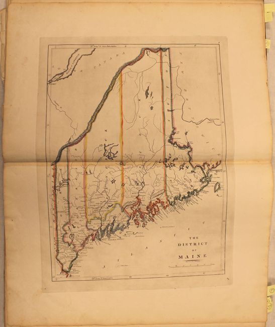
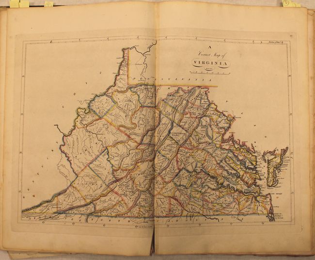
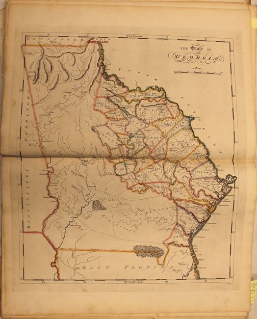
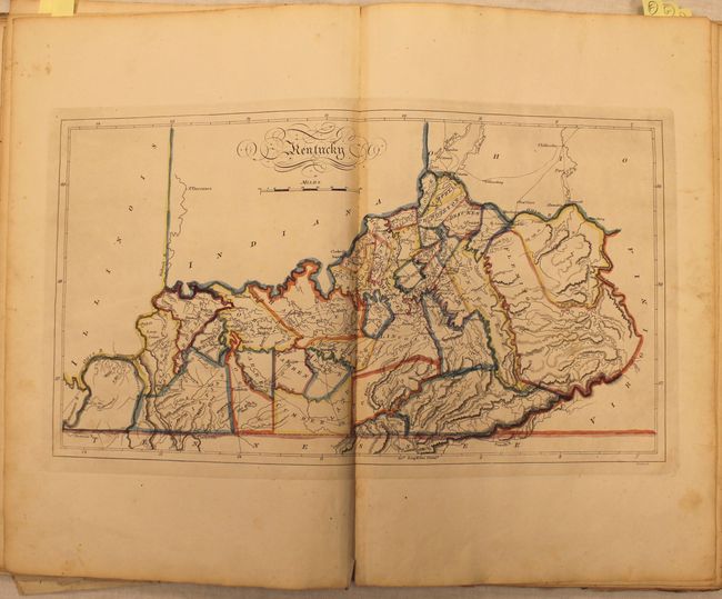
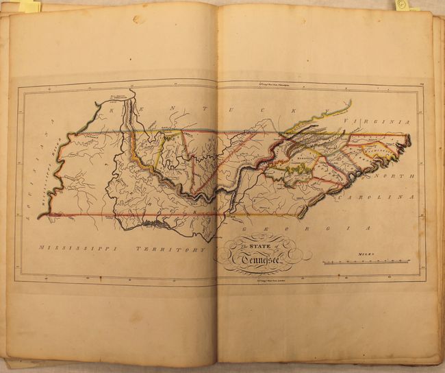
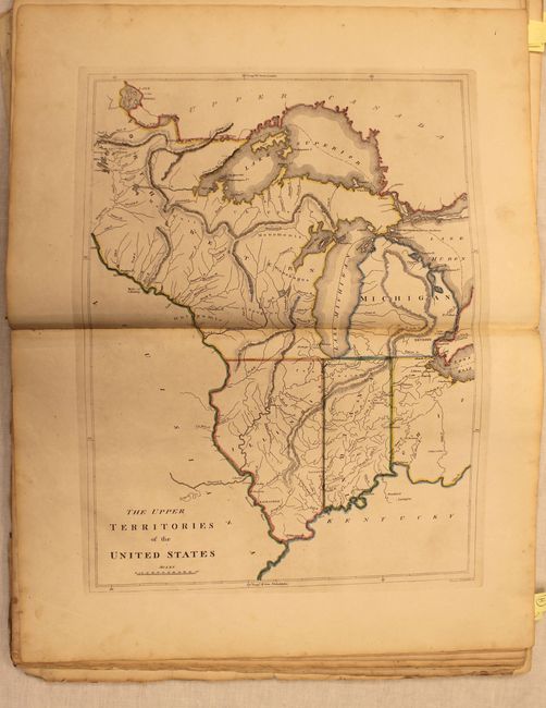
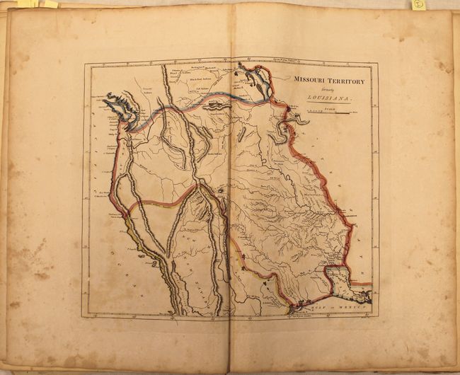
This is the highly sought after 1814 edition of Carey’s General Atlas, and the first edition to use standard outline hand color. Carey first published the General Atlas in 1796 with several updates through the early 19th century, but it wasn’t until the 1814 edition that the plates went through a major revision. This revision included updates based upon the discoveries of Lewis & Clark, and features many important engravings west of the Appalachian mountains including Tennessee, Mississippi Territory, Louisiana and Missouri Territory beyond Louisiana. This example contains 57 of the 58 issued maps, missing only North America.
Cartographically, the map of Tennessee shows the state at an early point in its development with only twelve organized counties in the Mero and Washington Districts. The majority of the state is shown to be Cherokee tribal territory. The map depicts a few settlements, forts, trails, and roads, two of which venture out into Cherokee country toward the Tennessee River. The map of Louisiana is one of the earliest large format maps of the state to appear in a commercial atlas. There is very little development except along the Mississippi River. However, the map includes nice detail of the existing roads, towns, rivers, and lakes.
Mathew Carey was a seminal figure in early American publishing, establishing the first publishing firm to specialize in cartography and issuing the first atlas devoted exclusively to American maps. He set up an elaborate cottage system of craftsmen for compiling, engraving, printing, and coloring maps. This practice was emulated by later American cartographic publishers such as John Melish and Henry S. Tanner. The American Atlas concept was also adopted by other publishers in both the United States and Europe.
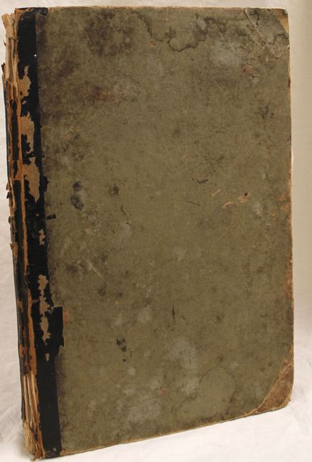
Folio, hardbound in quarter leather with green boards. Title page and map of North America are missing.
References: Phillips (Atlases) #722; Wheat (TMW) #315; Ristow pp. 151-153.
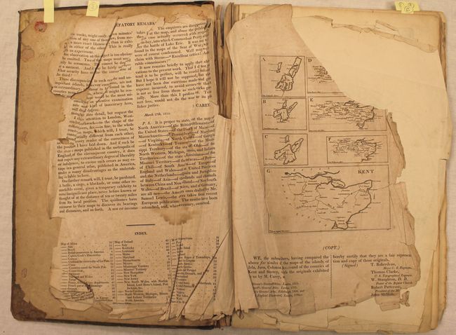
Condition: B
Condition code is for the maps which range from fair to very good, with the vast majority of the U.S. maps being good to very good with some light toning and minor staining. The map of the United States has a clean centerfold separation at bottom that extends 5.5" into the image (B), the map of Louisiana has a long vertical crease adjacent to the centerfold and some staining (B), and the map of Rhode Island is foxed with a damp stain at top (C+). Outside of the U.S. maps, the double hemisphere world map is severed in half and loose (D), and the prefatory remarks are heavily crumpled, torn and loose. The binding is loose, the covers are heavily worn and nearly detached, and the spine has perished. Given the favorable condition of most of the maps, this example would benefit from professional rebinding.