Catalog Archive
Auction 145, Lot 759

"Africae .I. Tab", Ptolemy/Mercator

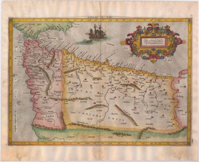
Subject: Northwestern Africa

Period: 1578 (circa)

Publication: Tabulae Geographicae Cl: Ptolemei…

Color: Hand Color

Size:
18.2 x 12.7 inches
46.2 x 32.3 cm
Download High Resolution Image
(or just click on image to launch the Zoom viewer)

Lovely Ptolemaic map of the northwestern part of Africa, filled with ancient names, including the Straits of Gibraltar, here called the Herculeu fretum. Although he is most renowned today for his map projection and the popularization of the term Atlas for a collection of maps, Gerard Mercator devoted much of his life to his Ptolemaic maps. The maps were beautifully engraved as nearly as possible to their original form from Ptolemy's textual descriptions and embellished with fine cartouches and scenes. This map is decorated with a lovely strapwork cartouche festooned with garlands of fruit and the stipple engraved sea includes a scene of a sea monster and sailing ship. Latin text on verso.

References: Mickwitz & Miekkavaara #221-12.

Condition: B+

A dark impression on watermarked paper with good margins, very light show through of text on verso, and professional repairs to a few chips and holes in bottom blank margin, not affecting map.

Estimate: $350 - $425

Unsold

Closed on 6/12/2013

Archived