Catalog Archive
Auction 145, Lot 744

"Map of Kerguelen's Land Called by C. Cook Island of Desolation", Hogg, Alexander

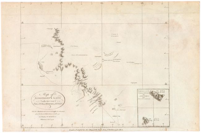
Subject: Kerguelen Islands, Indian Ocean

Period: 1790 (circa)

Publication:

Color: Black & White

Size:
10.8 x 9.1 inches
27.4 x 23.1 cm
Download High Resolution Image
(or just click on image to launch the Zoom viewer)

Copper engraved map of the Kerguelen Islands in the Southern Indian Ocean. It shows the tracks of Captain James Cook, who sheltered from a storm at Kerguelen on Christmas Day, 1776. An inset at bottom right shows the Prince Edward Islands, discovered by M. Marion du Fresne in 1772 and named by Captain Cook in 1776.

References:

Condition: B

Watermarked paper with light soiling. Top margin has been trimmed just past neatline, and binding holes in bottom margin that enter border have been closed with paper.

Estimate: $55 - $70

Unsold

Closed on 6/12/2013

Archived