Catalog Archive
Auction 145, Lot 717
"Carte de l'Empire de la Chine, de la Tartarie Chinoise, et du Royaume de Coree: avec les Isles du Japon", Bonne, Rigobert
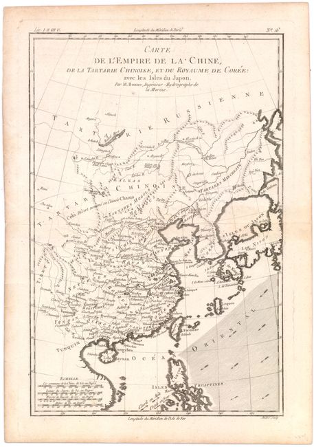
Subject: China, Korea & Japan
Period: 1788 (circa)
Publication:
Color: Black & White
Size:
8.3 x 12.5 inches
21.1 x 31.8 cm
Download High Resolution Image
(or just click on image to launch the Zoom viewer)
(or just click on image to launch the Zoom viewer)