Catalog Archive
Auction 145, Lot 651

"Carte des Regions et des Lieux dont il est Parle dans le Nouveau Testament", Bonne/Lattre

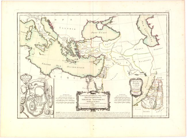
Subject: Eastern Mediterranean & Middle East

Period: 1775 (circa)

Publication: Atlas Moderne

Color: Hand Color

Size:
17.6 x 12.2 inches
44.7 x 31 cm
Download High Resolution Image
(or just click on image to launch the Zoom viewer)

A handsome map that covers the region of the Mediterranean from Italy through the Caspian Sea, showing the areas described in the New Testament. Two inset plans are included on either side of the title: Plan de Jerusalem du tems de N. S. Jesus-Christ and Carte de la Judee sous Herode le Grand, et sous ses trois fils Archelaus, Herode-Antipas, et Philippe. Three elaborate title cartouches and six distance scales decorate the map. Published and engraved in Paris by Lattre.

References: Laor #121.

Condition: B+

Watermarked paper with wide, original margins, some light toning along centerfold, and a few tiny, unobtrusive spots.

Estimate: $160 - $200

Unsold

Closed on 6/12/2013

Archived