Catalog Archive
Auction 145, Lot 494

"Flandriae Comitatus Descriptio", Ortelius, Abraham
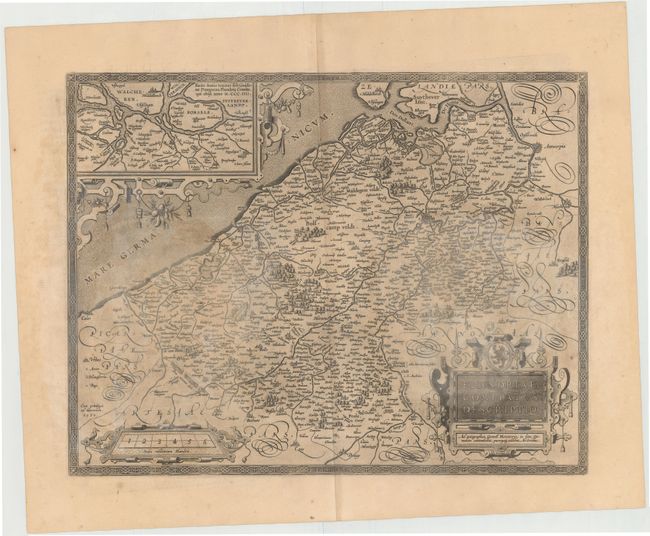
Subject: Belgium

Period: 1590 (dated)

Publication: Theatrum Orbis Terrarum

Color: Black & White

Size:
19.2 x 14.8 inches
48.8 x 37.6 cm
Download High Resolution Image
(or just click on image to launch the Zoom viewer)

This map of Flanders gives great detail of the cities and river systems throughout the region. At top is a large inset of the northernmost region of Flanders, Walcheren and Borsele, surrounded by an elegant strapwork cartouche. The title cartouche attributes this map to Gerard Mercator's map of the region from 1540. This is the first state, with French text on verso, published in 1598.

References: Van den Broecke #77.

Condition: C+

Watermarked paper with wide, original margins and all edges gilt. There are light damp stains throughout map.

Estimate: $400 - $500

Unsold

Closed on 6/12/2013

Archived