Catalog Archive
Auction 145, Lot 492

"Comitatus Hollandiae Tabula Pluribus Locis Recens Emendata", Visscher, Nicolas

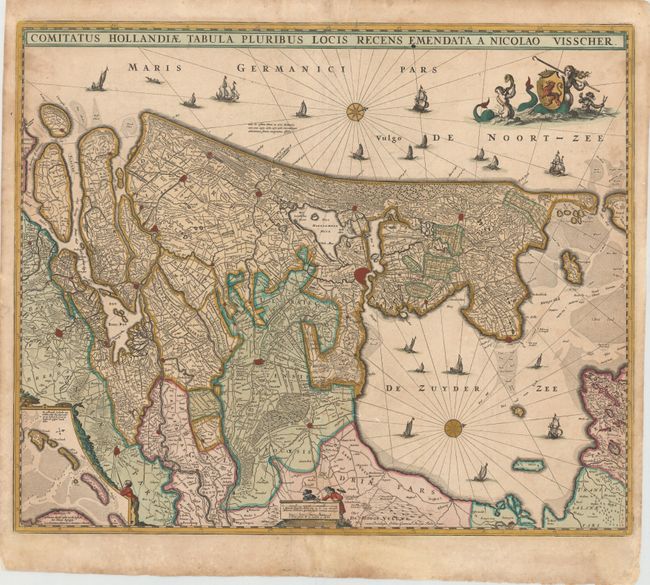
Subject: Western Netherlands

Period: 1677 (circa)

Publication:

Color: Hand Color

Size:
22.4 x 18.4 inches
56.9 x 46.7 cm
Download High Resolution Image
(or just click on image to launch the Zoom viewer)

This decorative map depicts Utrecht and parts of Friesland and Brabant with their coasts. The details include canals, roads, polders, marshes, and villages with major cities marked in red. The West Frisian Islands are shown in an inset. Compass roses orient north to the right and a variety of sailing vessels fill the seas. A mermaid holds the Dutch coat of arms and a pair of surveyors decorate the scale cartouche at bottom.

References:

Condition: B+

Attractive original color that has been partially refreshed, with light soiling and a few small spots.

Estimate: $475 - $600

Sold for: $300

Closed on 6/12/2013

Archived